Ranchlands, Calgary
Ranchlands is a residential neighbourhood in the northwest quadrant of Calgary, Alberta. It is bounded to the north by John Laurie Boulevard, to the east by Sarcee Trail, to the south by Crowchild Trail and to the west by Nose Hill Drive.
Ranchlands | |
|---|---|
Neighbourhood | |
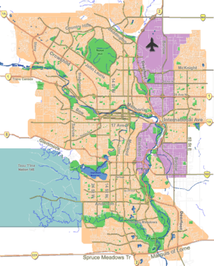
 Ranchlands Location of Ranchlands in Calgary | |
| Coordinates: 51°07′00″N 114°10′50″W | |
| Country | |
| Province | |
| City | |
| Quadrant | NW |
| Ward | 2 |
| Established | 1977 |
| Annexed | 1961 |
| Government | |
| • Mayor | Naheed Nenshi |
| • Administrative body | Calgary City Council |
| • Councillor | Joe Magliocca |
| Area | |
| • Total | 2.3 km2 (0.9 sq mi) |
| Elevation | 1,160 m (3,810 ft) |
| Population (2006)[2] | |
| • Total | 7,698 |
| • Average Income | $60,727 |
| Website | Ranchlands Community Association |
The area was annexed to the City of Calgary in 1961 and Ranchlands was established in 1977. It is represented in the Calgary City Council by the Ward 2 councillor.[1]
Demographics
In the City of Calgary's 2012 municipal census, Ranchlands had a population of 7,626 living in 3,051 dwellings, a 1.3% increase from its 2011 population of 7,529.[3] With a land area of 2.3 km2 (0.89 sq mi), it had a population density of 3,320/km2 (8,590/sq mi) in 2012.[4][3]
Residents in this community had a median household income of $60,727 in 2000, and there were 15.1% low income residents living in the neighbourhood.[5] As of 2000, 21.7% of the residents were immigrants. A proportion of 9% of the buildings were condominiums or apartments, and 27.4% of the housing was used for renting.[2]
Education
The community is served by Ranchlands Community public school. It is served by St. Rita Elementary School under the Catholic Board of Education. In addition, MAC Islamic School also serves the area and it is run by the Muslim Association of Canada. Two weekend Islamic Schools are also in Ranchlands, namely Northwest Islamic School (NWIS) and Al-Salam Academy.
Transportation
The community of Ranchlands is served by the following routes by Calgary Transit: 97,113 & 76.
Amenities
Ranchlands contains 3 separate strip malls. Various restaurants, outlets, clinics, gyms, banks and other amenities are found in these plazas. Additionally, Ranchlands is served by three churches: St. James Anglican Church, Westview Baptist Church & Kingdom Hall of Jehovah's Witnesses. Ranchlands is also served by two mosques, namely: the Northwest Calgary Islamic Center (run by IANWC) and Al-Salam Center (run by MAC).
See also
References
- "Calgary Elections". City of Calgary. 2017. Retrieved November 12, 2017.
- City of Calgary (2006). "Ranchlands Community Statistics" (PDF). Retrieved 2007-05-16.
- "2012 Civic Census Results" (PDF). City of Calgary. 2012. Retrieved February 4, 2013.
- "Community Boundaries" (Esri shapefile). City of Calgary. Retrieved February 5, 2013.
- City of Calgary (2004). "Ward 2 Profile" (PDF). Archived from the original (PDF) on 2007-08-09. Retrieved 2007-05-16.