Rafina-Pikermi
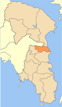
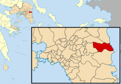
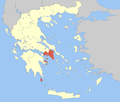
Rafina-Pikermi (Greek: Ραφήνα-Πικέρμι) is a municipality in the East Attica regional unit, Attica, Greece. The seat of the municipality is the town Rafina.[2] The municipality has an area of 40.501 km2.[3]
Rafina-Pikermi Ραφήνα-Πικέρμι | |
|---|---|
 | |
 Rafina-Pikermi Location within the region  | |
| Coordinates: 38°01′N 24°00′E | |
| Country | Greece |
| Administrative region | Attica |
| Regional unit | East Attica |
| Area | |
| • Municipality | 40.501 km2 (15.638 sq mi) |
| Population (2011)[1] | |
| • Municipality | 20,266 |
| • Municipality density | 500/km2 (1,300/sq mi) |
| Time zone | UTC+2 (EET) |
| • Summer (DST) | UTC+3 (EEST) |
Municipality
The municipality Rafina-Pikermi was formed at the 2011 local government reform by the merger of the following 2 former municipalities, that became municipal units:[2]
gollark: Even a "turned off" one is still going to have a few things running, so it can detect the power button and possibly do wake-on-LAN.
gollark: It's computers all the way down, and they are probably not very secure computers.
gollark: And being a laptop, there's an "embedded controller" running the fans and whatever, and maybe even a computer thing managing the battery.
gollark: As well as that, the dedicated GPU is arguably a "computer" too, and it has at least one microcontroller on it for various things. Also, the internal keyboard and camera are connected over USB, which means they probably have their own microcontrollers.
gollark: I don't have one of those, but yes.
References
- "Απογραφή Πληθυσμού - Κατοικιών 2011. ΜΟΝΙΜΟΣ Πληθυσμός" (in Greek). Hellenic Statistical Authority.
- Kallikratis law Greece Ministry of Interior (in Greek)
- "Population & housing census 2001 (incl. area and average elevation)" (PDF) (in Greek). National Statistical Service of Greece.
This article is issued from Wikipedia. The text is licensed under Creative Commons - Attribution - Sharealike. Additional terms may apply for the media files.
