Quince Mil Airport
Quince Mil (IATA: UMI, ICAO: SPIL) is an airport serving the village of Quince Mil in the Cusco Region of Peru. The runway is in the strip of land between the Interoceanic Highway and the Araza River, a tributary of the Inambari River. Aerial images show brush growing mid-field.[3]
Quince Mil Airport | |||||||||||
|---|---|---|---|---|---|---|---|---|---|---|---|
| Summary | |||||||||||
| Airport type | Public | ||||||||||
| Serves | Quince Mil | ||||||||||
| Elevation AMSL | 2,047 ft / 624 m | ||||||||||
| Coordinates | 13°13′55″S 70°45′10″W | ||||||||||
| Map | |||||||||||
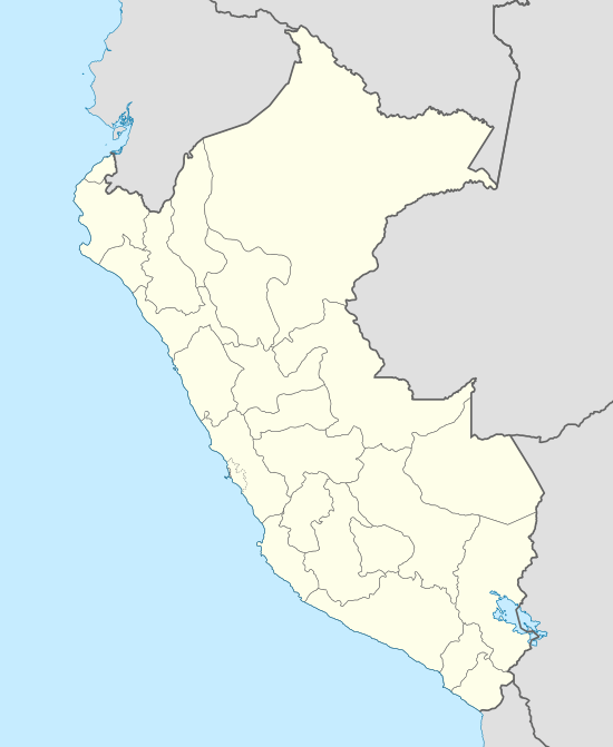 UMI Location of the airport in Peru | |||||||||||
| Runways | |||||||||||
| |||||||||||
See also


- Transport in Peru
- List of airports in Peru
References
- Airport information for Quince Mil Airport at Great Circle Mapper.
- "HERE Maps". Retrieved 4 September 2016.
- "Google Maps". Retrieved 4 September 2016.
External links
- OpenStreetMap - Quincemil
- OurAirports - Quince Mil
- Accident history for Quincemil Airport at Aviation Safety Network
This article is issued from Wikipedia. The text is licensed under Creative Commons - Attribution - Sharealike. Additional terms may apply for the media files.