Chachapoyas Airport
Chachapoyas Airport (IATA: CHH, ICAO: SPPY), is an airport serving the city of Chachapoyas in the Amazonas Region of Peru. The runway is on a mesa north of the city, with steep dropoffs on either end.
Chachapoyas Airport | |||||||||||
|---|---|---|---|---|---|---|---|---|---|---|---|
| Summary | |||||||||||
| Airport type | Public | ||||||||||
| Operator | ADP | ||||||||||
| Serves | Chachapoyas | ||||||||||
| Elevation AMSL | 8,333 ft / 2,540 m | ||||||||||
| Coordinates | 6°12′05″S 77°51′25″W | ||||||||||
| Map | |||||||||||
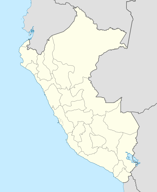 CHH Location of the airport in Peru | |||||||||||
| Runways | |||||||||||
| |||||||||||
The Chachapoyas VOR-DME (Ident: POY) is located on the field.[3][4]
Airlines and destinations
The following airline serves the airport:
| Airlines | Destinations |
|---|---|
| ATSA | Lima[5] |
| Movil Air[6] | Chiclayo, Tarapoto, Trujillo |
| Saeta Perú | Tarapoto |
Accidents and incidents
- On January 9, 2003, TANS Perú Flight 222 crashed into a mountain while attempting to land in Chachapoyas. All 46 passengers aboard the Fokker F-28 died.
gollark: Theoretically you could maybe detect the oscillator things in radio receivers if they had a close frequency to your number station, but they are generally designed to *not* leak signals.
gollark: The UK has "TV detector vans", but they have not actually been able to detect TVs listening to things since ye olden CRT ages.
gollark: That's not my alt.
gollark: It is not* transmitting steganographic bee neuron data.
gollark: Like the osmarks.net internet radio thing™ which continuously reads out "digits of pi".
References
External links
- Airport information for SPPY at World Aero Data. Data current as of October 2006.
- Chachapoyas Airport
- OurAirports - Chachapoyas
- OpenStreetMap - Chachapoyas
- SkyVector Aeronautical Charts
- Accident history for Chachapoyas Airport at Aviation Safety Network
This article is issued from Wikipedia. The text is licensed under Creative Commons - Attribution - Sharealike. Additional terms may apply for the media files.