Coronel FAP Carlos Ciriani Santa Rosa International Airport
Coronel FAP Carlos Ciriani Santa Rosa International Airport (IATA: TCQ, ICAO: SPTN) is an airport serving Tacna, Peru. It is run by CORPAC S.A. (Corporación Peruana de Aeropuertos y Aviación Comercial S.A.), a government organization that oversees airport management. The airport is the main airport of the Tacna Region, and is 27 km (17 mi) north of Peru's border with Chile.
Crnl. FAP Carlos Ciriani Santa Rosa International Airport | |||||||||||
|---|---|---|---|---|---|---|---|---|---|---|---|
| Summary | |||||||||||
| Airport type | Public | ||||||||||
| Operator | CORPAC S.A. | ||||||||||
| Location | Tacna, Peru | ||||||||||
| Elevation AMSL | 1,538 ft / 469 m | ||||||||||
| Coordinates | 18°03′05″S 70°16′30″W | ||||||||||
| Map | |||||||||||
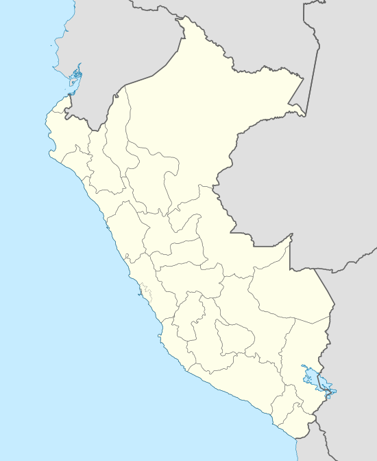 SPTN Location of the airport in Peru | |||||||||||
| Runways | |||||||||||
| |||||||||||
The Tacna VOR-DME (Ident: TCA) and non-directional beacon (Ident: TNA) are located on the field.[3][4]
Airlines and destinations
| Airlines | Destinations |
|---|---|
| LATAM Perú | Lima |
| Viva Air Perú | Lima |
gollark: See, that's unreasonable, getting angry at people is fine.
gollark: I will probably, to some amount of personal cost, defend people's right to say things I dislike, but that doesn't mean I have to agree with them or particularly support said things.
gollark: You are not going to make people budge on their opinions by saying "no, this opinion is illegal now" or something.
gollark: Okay, too bad, don't let them do much based on it I guess.
gollark: The "paradox" conflates "letting people say things you dislike" with "letting them act on it/ignoring it/not countering it sensibly/whatever else".
References
- Airport information for Tacna Airport at Great Circle Mapper.
- "Google Maps". Google Maps. Retrieved Mar 29, 2019.
- "SkyVector: Flight Planning / Aeronautical Charts". skyvector.com. Retrieved Mar 29, 2019.
- "Tacna VOR-DME (TCA) @ OurAirports". ourairports.com. Retrieved Mar 29, 2019.
External links
- Airport information for SPTN at World Aero Data. Data current as of October 2006.
- OpenStreetMap - Tacna
- SkyVector Aeronautical Charts
- OurAirports - Tacna
- Accident history for Tacna at Aviation Safety Network
This article is issued from Wikipedia. The text is licensed under Creative Commons - Attribution - Sharealike. Additional terms may apply for the media files.