Punta Arenas Sandra Scabini Airport
Sandra Scabini Airport (Spanish: Aeropuerto de Sandra Scabini), (ICAO: SCNS) was an airstrip 115 kilometres (71 mi) northeast of Punta Arenas, the capital of the Magallanes Region of Chile.
Sandra Scabini Airport | |||||||||||
|---|---|---|---|---|---|---|---|---|---|---|---|
| Summary | |||||||||||
| Airport type | Public | ||||||||||
| Serves | Punta Arenas, Chile | ||||||||||
| Elevation AMSL | 236 ft / 72 m | ||||||||||
| Coordinates | 52°23′38″S 69°45′25″W | ||||||||||
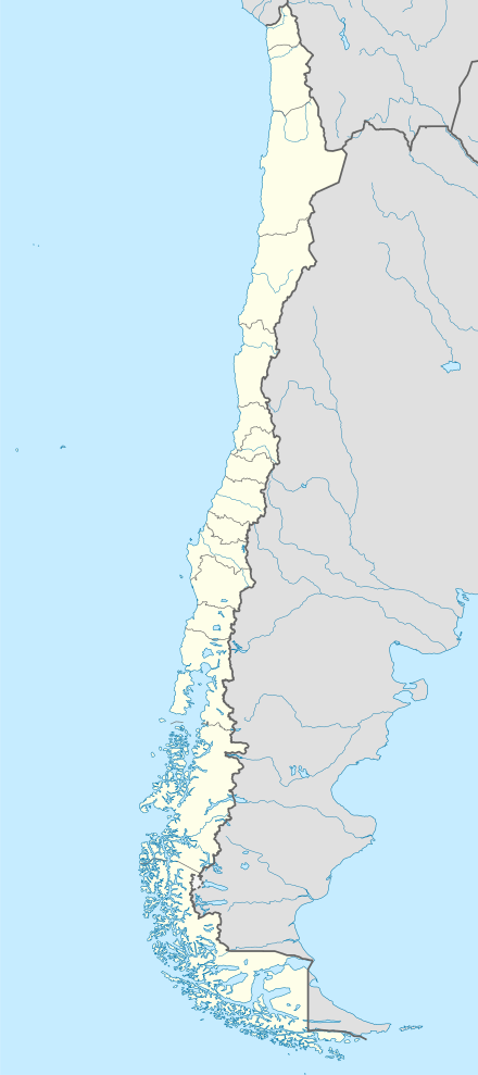
| Map | |||||||||||
 SCNS Location of Sandra Scabini Airport in Chile | |||||||||||
| Runways | |||||||||||
| |||||||||||
Source: Google Maps[1] | |||||||||||
In 2009, oil and gas was discovered around the Strait of Magellan, and the airstrip was near the center of the fields.[2][3] Google Earth Historical Imagery (9/2004) shows a well marked 510 metres (1,670 ft) dirt runway. The (3/2013) image and current imagery have the runway in use as a storage area for oil and gas drilling equipment.
See also


- Transport in Chile
- List of airports in Chile
References
- Google (2017-09-18). "location of Sandra Scabini Airport" (Map). Google Maps. Google. Retrieved 2017-09-18.
- "Geopark-confirms-new-Fell-block-oil-discovery". Energy-pedia.com. Retrieved September 18, 2017.
- "Chilean_oil_finds_a_boost_to_economy". Energy-daily.com. Retrieved September 18, 2017.
External links
- OpenStreetMap - Sandra Scabini
- HERE Maps - Sandra Scabini
- OurAirports - Sandra Scabini
- Accident history for Sandra Scabini Airport at Aviation Safety Network
This article is issued from Wikipedia. The text is licensed under Creative Commons - Attribution - Sharealike. Additional terms may apply for the media files.