Oelsnitz, Vogtland
Oelsnitz (German pronunciation: [ˈœlsnɪts]) is a town in the Vogtlandkreis district, in the Free State of Saxony, Germany. It is situated on the White Elster river, 9 kilometres (5.6 mi) south of Plauen and 25 miles (40 km) southwest of Zwickau.[2]
Oelsnitz | |
|---|---|
 Town hall | |
 Coat of arms | |
Location of Oelsnitz within Vogtlandkreis district  | |
 Oelsnitz 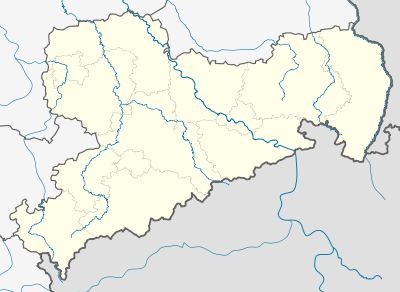 Oelsnitz | |
| Coordinates: 50°25′0″N 12°10′0″E | |
| Country | Germany |
| State | Saxony |
| District | Vogtlandkreis |
| Subdivisions | 11 |
| Government | |
| • Mayor | Mario Horn (CDU) |
| Area | |
| • Total | 53.67 km2 (20.72 sq mi) |
| Elevation | 405 m (1,329 ft) |
| Population (2018-12-31)[1] | |
| • Total | 10,285 |
| • Density | 190/km2 (500/sq mi) |
| Time zone | CET/CEST (UTC+1/+2) |
| Postal codes | 08601–08606 |
| Dialling codes | 037421 |
| Vehicle registration | V, AE, OVL, PL, RC |
| Website | www.oelsnitz.de |
Nearby villages
- Zaulsdorf
gollark: MekanismTOOLS? WhY?
gollark: I can add it and tweak the config to allow nothing but that.
gollark: No Project E.
gollark: No, I like those.
gollark: No, I like heavy automation and stuff, just not AE2 stuff.
References
| Wikimedia Commons has media related to Oelsnitz, Vogtland. |
- "Bevölkerung des Freistaates Sachsen jeweils am Monatsende ausgewählter Berichtsmonate nach Gemeinden" (PDF). Statistisches Landesamt des Freistaates Sachsen (in German). July 2019.
- Gilman, D. C.; Peck, H. T.; Colby, F. M., eds. (1905). . New International Encyclopedia (1st ed.). New York: Dodd, Mead.
| Authority control |
|
|---|
This article is issued from Wikipedia. The text is licensed under Creative Commons - Attribution - Sharealike. Additional terms may apply for the media files.