Obitel Peninsula
Obitel Peninsula (Bulgarian: полуостров Обител, romanized: poluostrov Obitel, IPA: [poɫuˈɔstrof oˈbitɛɫ]) is the mostly ice-covered peninsula wide 6.9 km and indenting for 6.6 km northwestwards between Hamburg Bay and Perrier Bay on the northwest coast of Anvers Island in the Palmer Archipelago, Antarctica. It ends up in Bonnier Point to the west and Giard Point to the north.
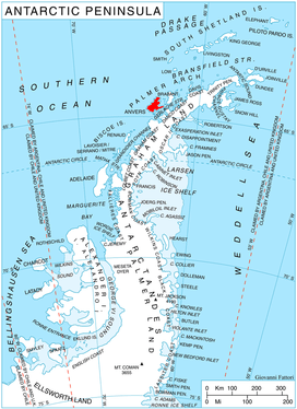
Location of Anvers Island in the Antarctic Peninsula region.
The peninsula is named after the settlement of Obitel in Northeastern Bulgaria.
Location
Obitel Peninsula is centred at 64°28′20″S 63°50′00″W. British mapping in 1980.
Maps
- British Antarctic Territory. Scale 1:200000 topographic map. DOS 610 Series, Sheet W 64 62. Directorate of Overseas Surveys, UK, 1980.
- Antarctic Digital Database (ADD). Scale 1:250000 topographic map of Antarctica. Scientific Committee on Antarctic Research (SCAR). Since 1993, regularly upgraded and updated.
gollark: ++list_deleted you.
gollark: ++delete LyricLy again
gollark: I agree wholeheartedly.
gollark: We need MORE somehow.
gollark: Is it just me or are the join messages on Discord a bit repetitive?
References
- Bulgarian Antarctic Gazetteer. Antarctic Place-names Commission. (details in Bulgarian, basic data in English)
- Obitel Peninsula. SCAR Composite Antarctic Gazetteer.
External links
- Obitel Peninsula. Copernix satellite image
This article includes information from the Antarctic Place-names Commission of Bulgaria which is used with permission.
This article is issued from Wikipedia. The text is licensed under Creative Commons - Attribution - Sharealike. Additional terms may apply for the media files.