Bonnier Point
Bonnier Point (64°28′S 63°57′W) is a headland forming the west extremity of Obitel Peninsula and marking the north side of the entrance to Hamburg Bay, on the northwest coast of Anvers Island in the Palmer Archipelago, Antarctica. It was first charted by the French Antarctic Expedition, 1903–05, and named by Jean-Baptiste Charcot for J. Bonnier, assistant director of the Laboratory of Maritime Zoology at Wimereux, who installed a laboratory on the ship Français.
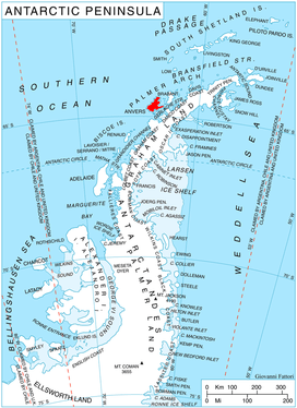
Location of Anvers Island in the Antarctic Peninsula region.
Maps
- British Antarctic Territory. Scale 1:200000 topographic map. DOS 610 Series, Sheet W 64 62. Directorate of Overseas Surveys, UK, 1980.
- Antarctic Digital Database (ADD). Scale 1:250000 topographic map of Antarctica. Scientific Committee on Antarctic Research (SCAR), 1993–2016.
gollark: Blurry.
gollark: Well, yes, I gûess.
gollark: A great feature of pancakes is that you can just stick another into the top half of a reactor for more power.
gollark: Wow, pancakes are taking off!
gollark: Air is wasted space. Add enderium.
References

This article is issued from Wikipedia. The text is licensed under Creative Commons - Attribution - Sharealike. Additional terms may apply for the media files.