Hamburg Bay
Hamburg Bay (64°30′S 63°57′W) is a bay indenting the northwest coast of Anvers Island in the Palmer Archipelago, Antarctica immediately south of Bonnier Point, Obitel Peninsula. Emen Island and Petrelik Island are located in the southwest part of the bay.
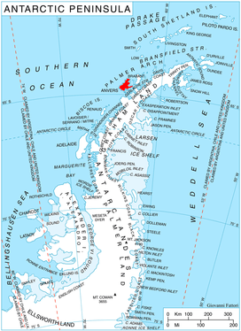
Location of Anvers Island in the Antarctic Peninsula region.
The bay was discovered but incompletely defined by a German expedition in 1873–74 under the command of Eduard Dallmann, who named it for Hamburg, Germany, the home port of the expedition. The bay was more accurately mapped by the French Antarctic Expedition, 1903–05, under Jean-Baptiste Charcot.[1]
Maps
- British Antarctic Territory. Scale 1:200000 topographic map. DOS 610 Series, Sheet W 64 62. Directorate of Overseas Surveys, UK, 1980.
- Antarctic Digital Database (ADD). Scale 1:250000 topographic map of Antarctica. Scientific Committee on Antarctic Research (SCAR), 1993–2016.
gollark: osmarkscalculator™ is quite slow, and unfortunately the ones derived from it mostly inherited that.
gollark: With no* backdoors.
gollark: I can design it.
gollark: Really? Cool.
gollark: Steganography is reword but images.
References
- "Hamburg Bay". Geographic Names Information System. United States Geological Survey. Retrieved 2012-05-18.
![]()
This article is issued from Wikipedia. The text is licensed under Creative Commons - Attribution - Sharealike. Additional terms may apply for the media files.