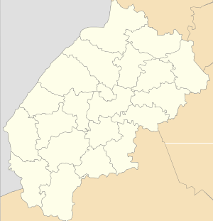
Nyzhnie Synovydne
Nyzhnie Synovydne (Ukrainian: Ни́жнє Синьови́дне, Polish: Synowódzko Niżne) is a village (selo) in Skole Raion, Lviv Oblast, of Western Ukraine. The population of the village is about 1,113 people and Local government is administered by Nyzhnosynovydnenska village council.[1]
Nyzhnie Synovydne Нижнє Синьовидне | |
|---|---|
 Nyzhnie Synovydne | |
| Coordinates: 49°06′32″N 23°38′24″E | |
| Country | |
| Province | |
| District | Skole Raion |
| Established | 1691 |
| Area | |
| • Total | 1,63 km2 (63 sq mi) |
| Elevation /(average value of) | 375 m (1,230 ft) |
| Population | |
| • Total | 1,113 |
| • Density | 682,82/km2 (176,850/sq mi) |
| Time zone | UTC+2 (EET) |
| • Summer (DST) | UTC+3 (EEST) |
| Postal code | 82615 |
| Area code | +380 3251 |
| Website | село Нижнє Синьовидне (Ukrainian) |
Geography
The village is located in the river valley where the two rivers merge into one — Stryi River and Opir River.
Area of the village totals is 1,63 km2 and is located along the Highway M06 (Ukraine) (![]()
History
The village is known from the 13th century, although the official founding date of village is 1691.[2]
In ancient times through the village was a trade route from Kievan Rus' to Hungary.
Attractions
The village has two sights of architecture Skole district:[3]
- Assumption of the Virgin Mary church (wood, 1803) (1416 / 1)
- Assumption of the Virgin Mary church bell tower 18th century (wood). (1416 / 2)
Gallery
- Assumption of the Virgin Mary church
- Assumption of the Virgin Mary church bell tower
References
- Nyzhnosynovydnenska village council Archived 2015-01-26 at the Wayback Machine
- Nyzhnye Synyovydne village: street map, photos
- Пам'ятки архітектури Сколівського району (in Ukrainian)