Khitar
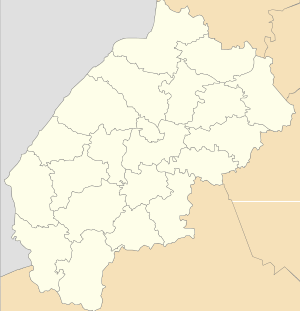
Khitar (Ukrainian: Хі́тар, Polish: Hutar) is a village (selo) in Skole Raion, Lviv Oblast, in western Ukraine. Khitar is located in the Ukrainian Carpathians within the limits of the Eastern Beskids (Skole Beskids) in southern Lviv Oblast in Skole Raion. Local government — Khitarska village council.[1]
The village is situated along the river Vandrivka (Khitarka).[2]
It is located 142 kilometres (88 mi) from the city of Lviv, 33 kilometres (21 mi) from Skole, and 134 kilometres (83 mi) from Uzhhorod.
Khitar Хі́тар | |
|---|---|
Village | |
Church of St. of Archangel Michael (wooden, 1860) and bell tower | |
 Khitar | |
| Coordinates: 48°50′30″N 23°17′21″E | |
| Country | |
| Oblast | |
| Raion | |
| Area | 17,15 km2 (662 sq mi) |
| Elevation | 744 m (2,441 ft) |
| Population | 0,377 |
| • Density | 21,98/km2 (5,690/sq mi) |
| Website | село Хітар (Ukrainian) |
History
The first written mention of the settlement dates back to 1572.[3]
The name of the village Khitar[4] comes from the Romanian word “hotar”, or possibly away from the Hungarian “hatar” — “boundary”. Most probably boundary between feudal lands.
Metropolitan Andrey Sheptytsky visited the village in 1928. Andrey Sheptytsky himself served Divine Liturgy, and 28 of priests sang in the choir.
Culture
The village has two monuments of Cultural Heritage in Ukraine;[5]
- Church of St. Michael (wooden), 1860 Village Hitar;
- The bell tower of the church of St. Michael (wooden), 1860 Village Hitar.
References
- Хітарська сільська рада (in Ukrainian)
- Матіїв М. Д. назви тих самих Водотоків, які змінені в різних частинах течії (на матеріалі гідронімії басейну ріки Стрию) (in Ukrainian)
- (in Ukrainian)
- Село Хітар, вікіпедія (in Ukrainian)
- Пам'ятки архітектури Сколівського району (in Ukrainian)
External links
- (in Ukrainian) Населенні пункти Сколівського району (Походження назви села Хітар )
- (in Ukrainian) Сколівщина.-Львів.1996
- (in Ukrainian) ТУРИСТИЧНІ РЕСУРСИ СКОЛІВЩИНИ
- weather.in.ua