Nounsley
Nounsley is a hamlet in the civil parish of the larger Essex village of Hatfield Peverel to which it is connected by a hill and footpaths.[1]
| Nounsley | |
|---|---|
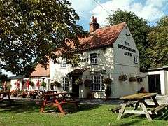 The Sportsmans Arms public house, Nounsley | |
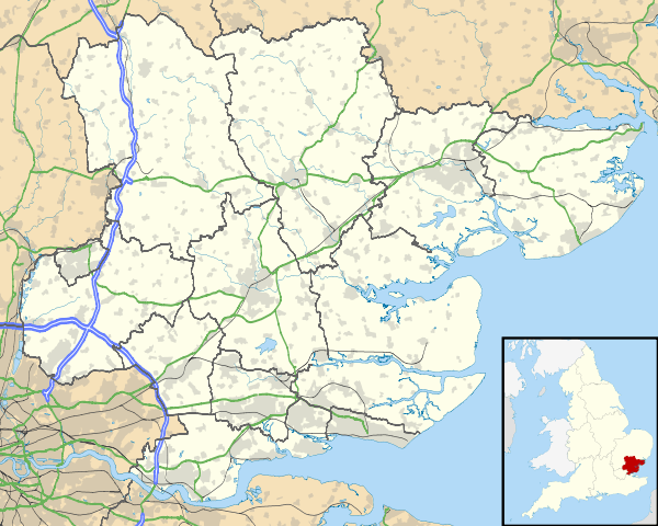 Nounsley Location within Essex | |
| OS grid reference | TL800105 |
| Shire county | |
| Region | |
| Country | England |
| Sovereign state | United Kingdom |
| Post town | Chelmsford |
| Postcode district | CM3 |
| Police | Essex |
| Fire | Essex |
| Ambulance | East of England |
| UK Parliament | |
There is one public house, The Sportsman's Arms and a ford across the River Ter. Other businesses based in Nounsley include Boon's Calibre Travel, Franklins Fire and Safety. Hatfield Peverel Parish Council manage the small playing field and play area in the hamlet.
The hamlet has only seven roads: Ulting Road, Sportsman Road, Nounsley Road, Manor Road, Priory Farm Road, Priory Close and Peverel Avenue. In the winter of 1962-63, snow on Nounsley Hill cut the village off to wheeled traffic for three days.
The number 73 bus (provided by First) passes through the village travelling from Chelmsford to Maldon stopping at the corner of Ulting Road and Nounsley Road.
References
- Ordnance Survey: Landranger map sheet 167 Chelmsford (Harlow & Bishop’s Stortford) (Map). Ordnance Survey. 2012. ISBN 9780319232101.