Newton-with-Scales
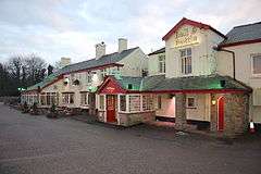
Newton-with-Scales is a village in the county of Lancashire and in the Borough of Fylde. It is situated on the A583 road, 5 miles (8 km) from Preston and 11 miles (18 km) from Blackpool, in the civil parish of Newton-with-Clifton. It has a park, a pub called the Bell and Bottle, a primary school called Newton Bluecoats, a shop called The Convenience Store, and a petrol station. Another pub, the Highgate Hotel, was converted into a restaurant.[1]
| Newton-with-Scales | |
|---|---|
 The Bell and Bottle public house, Newton With Scales | |
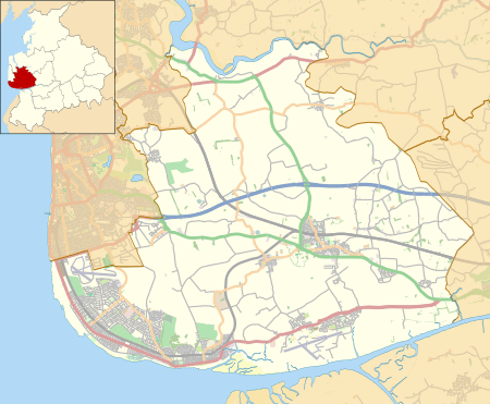
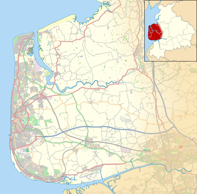
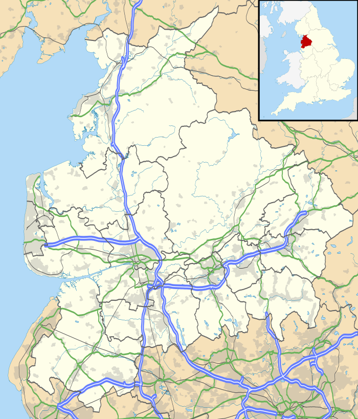
 Newton-with-Scales Shown within Fylde Borough  Newton-with-Scales Shown within the Fylde  Newton-with-Scales Location within Lancashire | |
| OS grid reference | SD446309 |
| Civil parish | |
| District |
|
| Shire county | |
| Region | |
| Country | England |
| Sovereign state | United Kingdom |
| Post town | PRESTON |
| Postcode district | PR4 |
| Dialling code | 01772 |
| Police | Lancashire |
| Fire | Lancashire |
| Ambulance | North West |
| UK Parliament | |
Formerly the village was two hamlets: Scales on the main road from Preston to Kirkham, and Newton on a loop to the south.[2] The name Newton is from Old English, meaning "new farm" or "new village"; Scales is from a word of Scandinavian origin meaning "hut".[3]
Newton was mentioned in the Domesday Book as a member of the fee of Earl Tostig. By 1212 it had become part of the barony of Penwortham. In the 16th century both Newton and Scales were referred to as manors.[2] Newton Bluecoat school was established in 1707 by John Hornby for boys and girls up to the age of 14 years; it is now a primary school. It was rebuilt in 1864, and replaced by a new building in 1969.[2][4][5]
The township of Newton-with-Scales was part of the parish of Kirkham; by 1912 it had its own parish council and formed part of Fylde Rural District. Located east of Freckleton and west of Clifton, the township extended north from the River Ribble to boundaries with Kirkham to the north-west and Treales, Roseacre and Wharles to the north.[6] It included the hamlet of Dowbridge on the main road near Kirkham.[2] As of 1912 it consisted of 1,5221⁄2 acres (including around 15 acres of tidal water in the Ribble estuary). Most of the area was pasture. The southern part, crossed by the Preston to Freckleton road, is flat and includes reclaimed land close to the river; the village is to the north on a slope that rises to 50 feet.[2] As of the 1931 census the civil parish of Newton-with-Scales had a population of 343. In 1934 it merged with Clifton-with-Salwick (1931 census population: 428) to form Newton-with-Clifton.[7]
Formerly a rural community, it has expanded with many new houses built since the 1940s. Since World War II, Springfields nuclear fuel production site and British Aerospace at Warton Aerodrome have been major employers in the area, and also by the 1980s many residents worked in Preston, Blackpool and other towns in the region.[5]
References
- "The Highgate". Closedpubs.co.uk. Retrieved 30 June 2020.
- Farrer, William; Brownbill, J, eds. (1912). Townships: Newton-with-Scales. A History of the County of Lancaster. 7. British History Online. pp. 165–167. Retrieved 27 June 2020.
- Mills, David (1976). The Place Names of Lancashire. Batsford. pp. 48, 115, 131. ISBN 0-7134-5236-6.
- John Marius Wilson. Imperial Gazetteer of England and Wales (1870-72).
- Lancashire Federation of Women's Institutes (1990). The Lancashire Village Book. Countryside Books. pp. 158–159. ISBN 1-85306-076-3.
- "Places within 6 miles of Newton with Scales". GENUKI. Retrieved 27 June 2020.
- "Newton With Clifton CP". A Vision of Britain Through Time. University of Portsmouth. Retrieved 27 June 2020.
.svg.png)