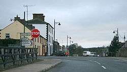
Newbliss
Newbliss (Irish: Cúil Darach, meaning "corner of the oaktrees"),[2] historically known as Lisdaragh (Irish: Lios Darach, meaning "ringfort abounding in oak trees"), is a village in County Monaghan, Ireland. It is located where the R183 and R189 regional roads intersect.
Newbliss Cúil Darach | |
|---|---|
Village | |
 Newbliss | |
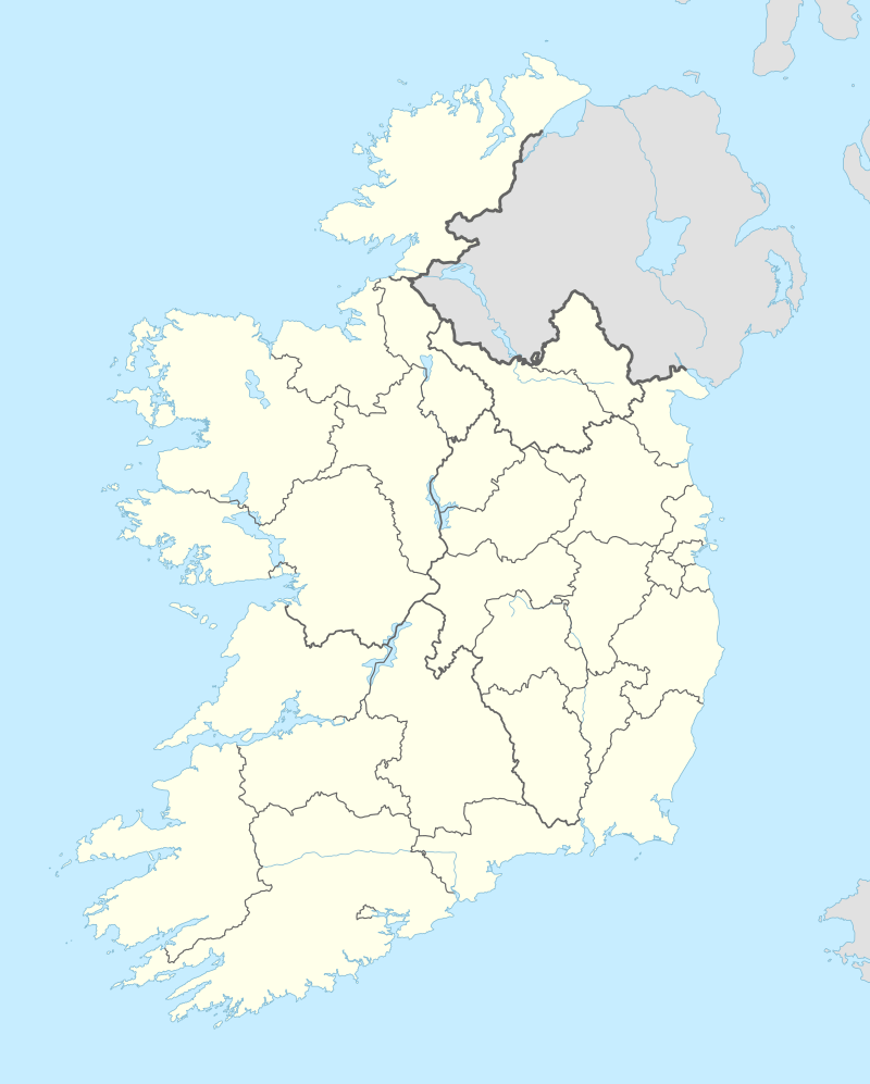 Newbliss Location in Ireland | |
| Coordinates: 54.158°N 7.137°W | |
| Country | Ireland |
| Province | Ulster |
| County | County Monaghan |
| Elevation | 110 m (360 ft) |
| Population (2016)[1] | |
| • Total | 327 |
| Irish Grid Reference | H561235 |
Transport
Rail services do not serve Newbliss, as Newbliss railway station (which opened in 1855) was closed for passenger traffic on 14 October 1957, and closed altogether on 1 January 1960.[3]
gollark: If suddenly everyone had half as many liras but you could buy twice as much stuff per lira that would probably be fine.
gollark: The value of the currency isn't that important, it's more how it changes and how much some amount of the average wage buys.
gollark: It's a pretty terrible country right now, yes.
gollark: I wonder why they *add* the indicator thing.
gollark: So, "ones with indicator light bad unless they're good"?
See also
- List of towns and villages in the Republic of Ireland
- Market Houses in the Republic of Ireland
References
- "Sapmap Area - Settlements - Newbliss". Census 2016. Central Statistics Office. April 2016. Retrieved 19 February 2020.
- "Cúil Darach / Newbliss". logainm.ie. Irish Placenames Commission. Retrieved 19 February 2020.
- "Newbliss station" (PDF). Railscot - Irish Railways. Retrieved 19 November 2007.
Places in County Monaghan | ||
|---|---|---|
| Towns |  | |
| Villages and townlands | ||
| Landforms | ||
| ||
This article is issued from Wikipedia. The text is licensed under Creative Commons - Attribution - Sharealike. Additional terms may apply for the media files.