Nananu-i-Cake
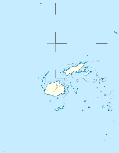
Nananu-i-Cake [nɑː.nɑːˈnuː iː ðɑːˈkeː] is an island in Fiji less than one kilometer off the coast of the main island of Viti Levu, near the Rakiraki-district in Ra Province.
 Nananu-i-Cake | |
| Geography | |
|---|---|
| Location | Pacific Ocean |
| Coordinates | 17°19′S 178°14′E |
| Archipelago | Nananu |
| Total islands | 3 |
| Major islands | Nananu-i-Ra, Nananu-i-Cake, Mabua |
| Area | 2,225,780 m2 (23,958,100 sq ft)[1] |
| Administration | |
Fiji | |
Nananu-i-Cake is located immediately next to the island of Nananu-i-Ra. Nananu-i-Cake and Mabua (the islet located immediately to the southeast) islands are about 600 acres (242.81 hectares) in area.[1]
The island's name, Nananu-i-Cake, means "Daydream Upwind" (or easterly) in Fijian. The island is also known by several other names, including Ananugata, Nananugata, Yananu[2] and Nananu-i-Thake Island.[3]
The main residence on the island was designed by the architecture firm of Murray Cockburn, based in Auckland.[1] A deep-water jetty is on the island's western shore.
History
In 1974, Sir Harold Mitchell visited Fiji from the UK and purchased Nananu-i-Cake and Mabua as a retreat. Because of Harold's position of Vice-Chairman of the Conservative Party under Sir Winston Churchill and his social and political standing, several high-profile dignitaries visited and stayed on the island. Commemorative trees were planted for many of these high-profile visits. Nananu-i-Cake has remained in Sir Harold Mitchell's family since 1974.[4][5]
Nananu-i-Cake also retains evidence of moka, stone formations built in tidal areas to trap fish at lot tide, and ring-wall fortifications built with volcanic rocks.[6]
References
- Wheatley, Paul (1 December 2012). "600-acre Nananu-i-Cake Island off of Fiji, for sale". Departures - US Edition. Journal International Publishing. Archived from the original on 24 March 2013. Retrieved 10 January 2013.
- "Nananu-i-cake (Nananuicake) Map, Weather and Photos - Fiji: island - Lat:-17.3167 and Long:178.233". getamap.net. Retrieved 12 January 2013.
- "Nananu-i-Thake Island Map". mapase.com. Archived from the original on 29 June 2013. Retrieved 30 May 2013.
- West, Carol (October 2012). "Nananu i Cake, Rakiraki -- Freehold Island 600 acres". Professionals Real Estate Group. Archived from the original on 18 February 2013. Retrieved 10 January 2013.
- Navaratnarajah, Romesh (12 October 2012). "Fiji island on the market for US$10 million". PropertyGuru.com.sg. Retrieved 10 January 2013.
- Morrison, R.J.; Geraghty, Paul A.; Crowl, Linda, eds. (1994). Science of Pacific Island peoples. Volume 2: Land use and agriculture. University of the South Pacific. pp. 163–166. ISBN 9789820201057. Retrieved 13 January 2013.