Mubarakpur
Mubarakpur is a town and a municipal board in Azamgarh district in the Indian state of Uttar Pradesh. It is located at a distance of 13 km north-east of the district headquarters in Azamgarh.
Mubarakpur | |
|---|---|
Town | |
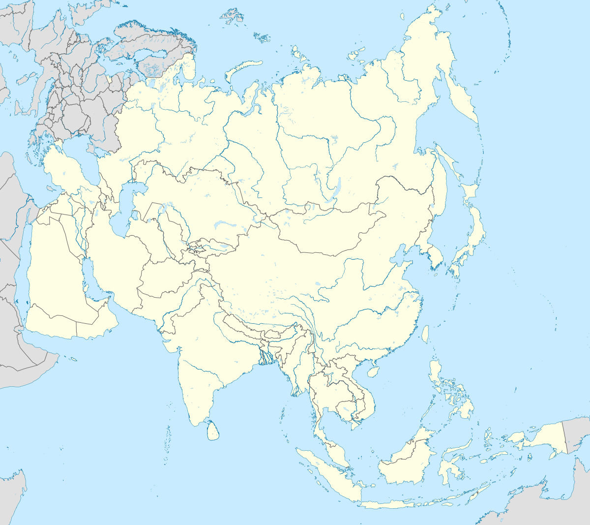
 Mubarakpur Location in Uttar Pradesh  Mubarakpur Mubarakpur (India)  Mubarakpur Mubarakpur (Asia) | |
| Coordinates: 26.09°N 83.29°E | |
| Country | |
| State | Uttar Pradesh |
| District | Azamgarh |
| Named for | Raja Mubarak Shah |
| Government | |
| • Type | Nagar Palika |
| • Body | Karimunnisa Ansari |
| Elevation | 69 m (226 ft) |
| Population (2011) | |
| • Total | 70,463 |
| Language | |
| • Official | Hindi[1] |
| • Additional official | Urdu[1] |
| Time zone | UTC+5:30 (IST) |
| PIN | 276404 |
| Vehicle registration | UP-50 |
Geography
Mubarakpur is located at 26.09°N 83.29°E.[2] It has an average elevation of 69 metres (226 feet).
Demographics
The total population of Mubarakpur is 70,463 as of 2011 census. Males constitute 51.3% of the population whereas females 48.7%.[3]
gollark: Also kind of big and complex.
gollark: I want simple/lightweight and ideally not written in PHP.
gollark: Er, for.
gollark: I'll look at good wiki software then.
gollark: I can put NDing information on it to annoy TJ09 *more*!
References
- "52nd REPORT OF THE COMMISSIONER FOR LINGUISTIC MINORITIES IN INDIA" (PDF). nclm.nic.in. Ministry of Minority Affairs. Archived from the original (PDF) on 25 May 2017. Retrieved 16 May 2019.
- Falling Rain Genomics, Inc - Mubarakpur
- "Mubarakpur (Azamgarh, Uttar Pradesh, India) - Population Statistics, Charts, Map, Location, Weather and Web Information". www.citypopulation.de. Retrieved 6 August 2019.
This article is issued from Wikipedia. The text is licensed under Creative Commons - Attribution - Sharealike. Additional terms may apply for the media files.