Mount Gower
Mount Gower also Big Hill,[1] is the highest mountain on Australia's subtropical Lord Howe Island in the Tasman Sea. With a height of 875 metres (2,871 ft) above sea level, and a relatively flat 27-hectare (67-acre) summit plateau, it stands at the southern end of Lord Howe, just south of the island's second highest peak, the 777-metre (2,549 ft) high Mount Lidgbird, from which it is separated by the saddle at the head of Erskine Valley.
| Mount Gower | |
|---|---|
| Big Hill[1] | |
Lord Howe Island's two southern mountains in the background, Mount Lidgbird (left) and Mount Gower (right) | |
| Highest point | |
| Elevation | 875 m (2,871 ft) |
| Prominence | 875 m (2,871 ft) |
| Coordinates | 31°35′25″S 159°04′20″E [1] |
| Geography | |
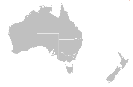
 Mount Gower | |
| Location | Lord Howe Island, New South Wales, Australia |
| Geology | |
| Mountain type | Volcanic |
Ascending Gower entails a popular, guided, strenuous 8-hour return hike, though no special climbing skills are needed. The mountain is covered with rainforest, including cloud forest at the summit, containing many of the island's endemic plants.[2][3]
References
- "Mount Gower". Geographical Names Register (GNR) of NSW. Geographical Names Board of New South Wales. Retrieved 25 May 2015.

- "Mt Gower". Lord Howe Island Tourism Association. Retrieved 28 January 2014.
- Hutton, Ian (1998). The Australian Geographic Book of Lord Howe Island. Sydney: Australian Geographic. pp. 59–63. ISBN 1-876276-27-4.
This article is issued from Wikipedia. The text is licensed under Creative Commons - Attribution - Sharealike. Additional terms may apply for the media files.