Monte Orditano
Monte Orditano is a mountain in Liguria, northern Italy, part of the Ligurian Appennines.
| Monte Orditano | |
|---|---|
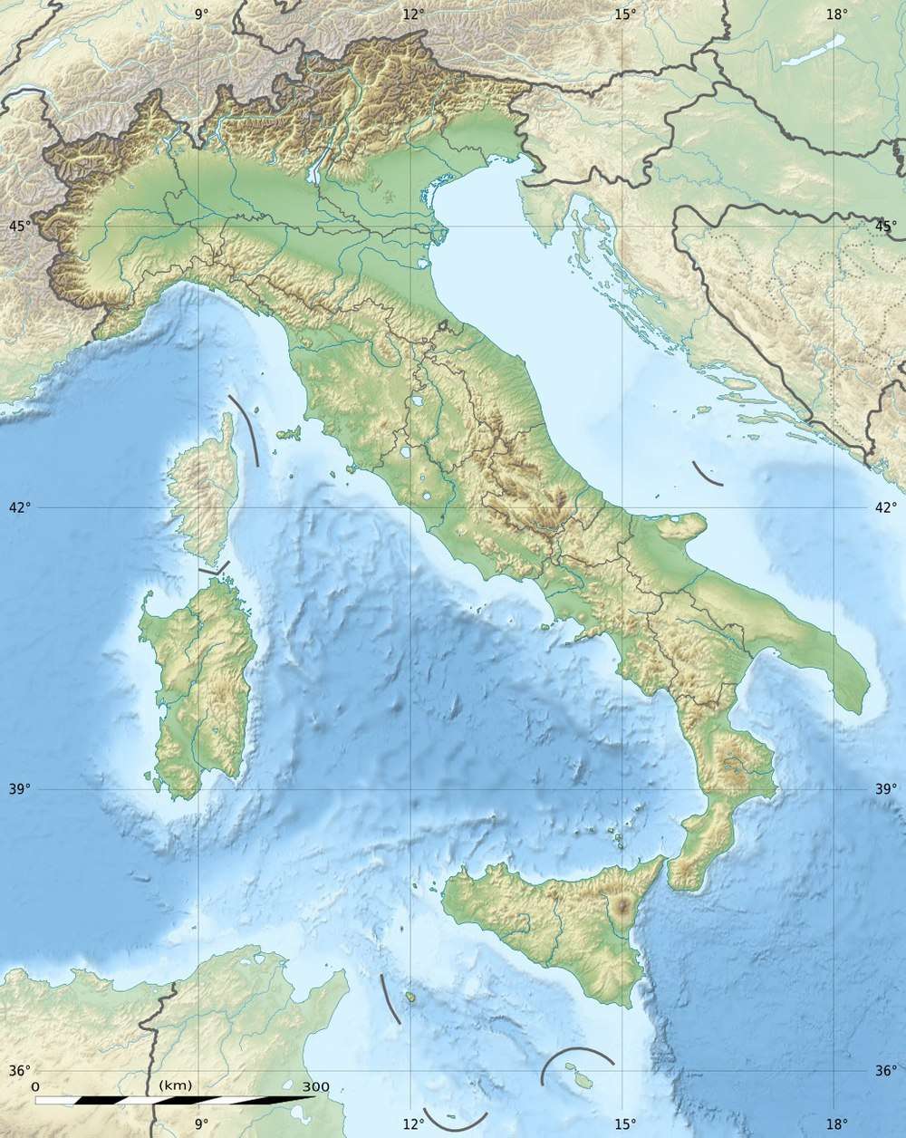 Monte Orditano Location in Italy | |
| Highest point | |
| Elevation | 950 m (3,120 ft) [1] |
| Coordinates | 44°31′02″N 8°48′47″E |
| Geography | |
| Location | Liguria, Italy |
| Parent range | Ligurian Appennines |
Geography
The mountain lies at an altitude of 950 metres. It's located in the town of Ceranesi in the Province of Genoa, not far from the border with Piedmont.
gollark: Why would I do that?
gollark: PotatOS for x86™, coming when I get that Alpine Linux image creator to work (or maybe I could just make an install script), will of course overwrite your firmware with bees.
gollark: I also think they're the reason why EFI does strings as (ugh) UTF-16.
gollark: Microsoft actually does partly "own your firmware" via secure boot keys.
gollark: Yes.
This article is issued from Wikipedia. The text is licensed under Creative Commons - Attribution - Sharealike. Additional terms may apply for the media files.