Metea, Indiana
Metea is an unincorporated community in Bethlehem Township, Cass County, Indiana.
Metea | |
|---|---|
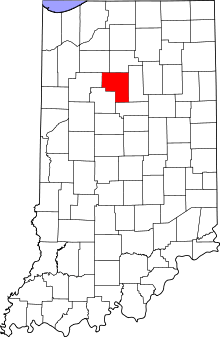 Cass County's location in Indiana | |
 Metea Location in Cass County | |
| Coordinates: 40°52′09″N 86°18′34″W | |
| Country | United States |
| State | Indiana |
| County | Cass |
| Township | Bethlehem |
| Elevation | 781 ft (238 m) |
| ZIP code | 46947 |
| GNIS feature ID | 439048[1] |
History
Metea was originally known as New Hamilton, and under the latter name laid out in 1853. It was later renamed Metea, the name of an Indian chief.[2]
Geography
Metea is located at 40°52′09″N 86°18′34″W. Indiana State Road 25 passes northeast through town.
gollark: Maybe they didn't dare and it's viewbombing...
gollark: Link to the S2s¿
gollark: Infinis'? That was a saltkin™?
gollark: *hopefully*
gollark: Well, you must've hunted stuff to trade for them...
References
- "Metea, Indiana". Geographic Names Information System. United States Geological Survey. Retrieved 2009-10-17.
- Powell, Jehu Z. (1913). History of Cass County Indiana: From Its Earliest Settlement to the Present Time. Lewis Publishing Company. pp. 483.
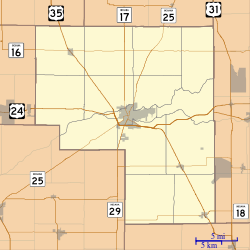
Municipalities and communities of Cass County, Indiana, United States | ||
|---|---|---|
| City | Map of Indiana highlighting Cass County | |
| Towns | ||
| Townships | ||
| CDP | ||
| Other unincorporated communities | ||
| Footnotes | ‡This populated place also has portions in an adjacent county or counties | |
This article is issued from Wikipedia. The text is licensed under Creative Commons - Attribution - Sharealike. Additional terms may apply for the media files.