Markovićevo
Markovićevo (Serbian Cyrillic: Марковићево; Romanian: Crivobara) is a village in Serbia. It is situated in the Plandište municipality, South Banat District, Vojvodina province.
Markovićevo Марковићево | |
|---|---|
 Catholic chapel of Saint Catherine of Alexandria (1977) | |
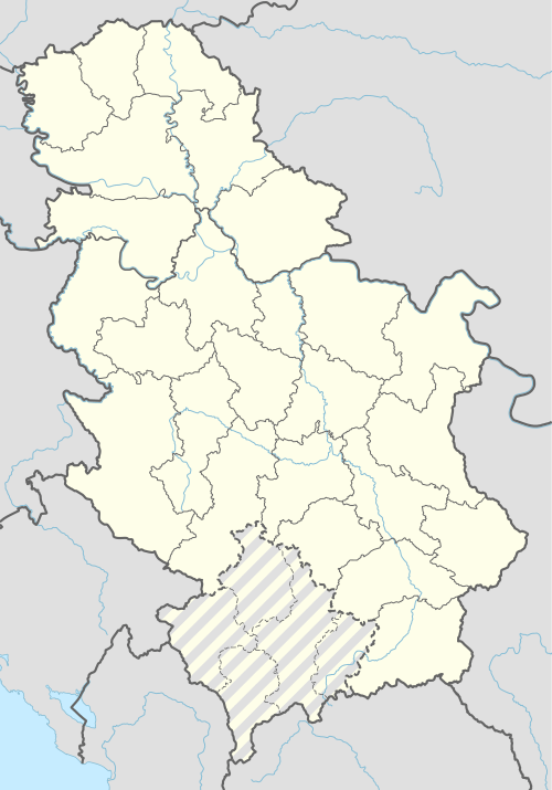 Markovićevo Location of Markovićevo within Serbia | |
| Coordinates: 45°19′08″N 21°01′35″E | |
| Country | Serbia |
| Province | Vojvodina |
| District | South Banat |
| Elevation | 74 m (243 ft) |
| Population (2002) | |
| • Markovićevo | 216 |
| Time zone | UTC+1 (CET) |
| • Summer (DST) | UTC+2 (CEST) |
| Area code(s) | +381(0)13 |
| Car plates | VŠ |
Name
Older Serbian name for the village was Kriva Bara (Крива Бара). In Hungarian the village is known as Torontálújfalu (Formerly also Ujfalu and Torontal-Ujfalu). In Romanian, the name is Crivobara; the village was in the Kingdom of Romania until 1923.
Demographics
The village has a Serb ethnic majority (70,37%) with a sizable Hungarian minority (21,29%) and its population numbering 216 people (2002 census).
Historical population
- 1961: 505
- 1971: 420
- 1981: 310
- 1991: 239
- 2002: 216
gollark: They have proprietary cables and stuff.
gollark: I would rather have "bugs" than Apple's software and sort of hardware lock in.
gollark: Some are worse than others. I think Apple tends to glue their phones together a lot. Samsung too.
gollark: Apple are particularly bad offenders for this.
gollark: Then it's nightmarishly hard because phones aren't modularly designed.
See also
- List of places in Serbia
- List of cities, towns and villages in Vojvodina
References
- Slobodan Ćurčić, Broj stanovnika Vojvodine, Novi Sad, 1996.
This article is issued from Wikipedia. The text is licensed under Creative Commons - Attribution - Sharealike. Additional terms may apply for the media files.