Mainland Halifax
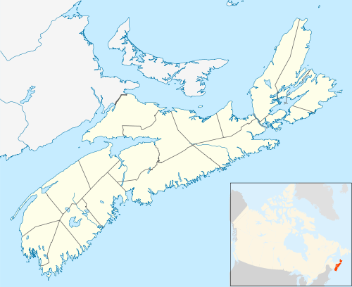
Mainland Halifax is a community and planning area in central Nova Scotia, Canada that refers to the central-eastern part of the Chebucto Peninsula in the Halifax Regional Municipality. It contrasts with Halifax Peninsula, which lies across the Northwest Arm.
Mainland Halifax | |
|---|---|
Community | |
 Location of Mainland Halifax in municipal Halifax | |
 Mainland Halifax Location of Mainland Halifax in Nova Scotia | |
| Coordinates: 44°37′45.9″N 63°36′19.5″W | |
| Country | |
| Province | |
| Municipality | Halifax Regional Municipality |
| Founded | 1969 |
| Communities | Armdale, Clayton Park, Fairview, Rockingham, Purcell's Cove, Spryfield |
| Government | |
| • Type | Regional Municipality |
| Area | |
| • Land | 43 km2 (17 sq mi) |
| Population (2016)[2] | |
| • Total | 73,310 |
| • Density | 1,704.8/km2 (4,415/sq mi) |
| Time zone | UTC-4 (AST) |
| Area code(s) | 782, 902 |
| Places in Nova Scotia | |
History
The area lies west of the Northwest Arm and Bedford Basin and extends several kilometres inland, encompassing an area of Halifax County that the former City of Halifax had annexed in 1969. This includes the former communities of Armdale, Clayton Park, Fairview, Rockingham, Purcell's Cove and Spryfield.
The term "Mainland Halifax" became the official description[3] of the area after the municipal merger in 1996 which saw the creation of the Halifax Regional Municipality, or HRM, as a single-tier municipal unit within Halifax County, resulting in the disincorporation of the cities of Halifax and Dartmouth, as well as the town of Bedford and the Municipality of the County of Halifax. The City of Halifax became a provincial metropolitan area, and the HRM divided the former city into two separate community planning areas, Halifax Peninsula and Mainland Halifax, with separate community councils inside of the regional government.
Neighbourhoods
Mainland Halifax is further divided into "Mainland North" (Bayer's Lake, Clayton Park, Fairview, and Rockingham) and "Mainland South" (Armdale, Herring Cove, Purcell's Cove, Sambro, and Spryfield). Residents do not use the term "Mainland" or the north and south divisions at all, preferring to refer to their original community names which describe the geography of their area more appropriately to those familiar with the region.
References
- "Halifax Open Data; Census 2016 Census Tracts". halifax.ca. Government of the Municipality of Halifax.
- "Halifax Open Data; Census 2016 Census Tracts". halifax.ca. Government of the Municipality of Halifax.
- HRM - Planning Archived 2011-06-03 at the Wayback Machine