Lowndes, Missouri
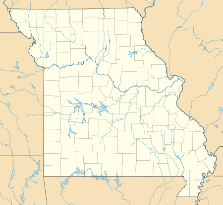
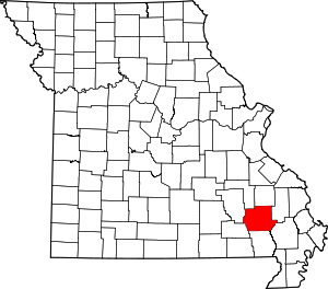
Lowndes is an unincorporated community in eastern Wayne County, Missouri, United States. It is located approximately twenty miles southwest of Marble Hill, along Missouri Route E. Bear Creek flows past the north side of the community and Barnes Creek is just east of the community.[2]
Lowndes | |
|---|---|
 Lowndes Location within the state of Missouri | |
| Coordinates: 37°08′56″N 90°15′48″W[1] | |
| Country | United States |
| State | Missouri |
| County | Wayne |
| Elevation | 443 ft (135 m) |
| Time zone | UTC-6 (Central (CST)) |
| • Summer (DST) | UTC-5 (CDT) |
| ZIP codes | 63951 |
| GNIS feature ID | 750889[1] |
A post office called Lowndes has been in operation since 1840.[3] The community has the name of Lowndes Henry Davis, a state legislator.[4]
Notable person
gollark: Stupid global state (os.queueEvent) is making this *really hard*.
gollark: Coming soon: Grow your own potatOSes with Potato Farm! Run 16 potatOS instances on one computer, because why not!
gollark: ...
gollark: potatOS is the best OS, with many useless random junk things supported by no other "OS"
gollark: Prabably anly available with Nitr.
References
- U.S. Geological Survey Geographic Names Information System: Lowndes, Missouri
- Missouri Atlas & Gazetteer, DeLorme, 1998, First edition, p. 57, ISBN 0-89933-224-2
- "Post Offices". Jim Forte Postal History. Retrieved 1 January 2017.
- "Wayne County Place Names, 1928–1945". The State Historical Society of Missouri. Archived from the original on June 24, 2016. Retrieved January 1, 2017.
- "About Us". Nova Southeastern University. Retrieved 1 January 2017.
This article is issued from Wikipedia. The text is licensed under Creative Commons - Attribution - Sharealike. Additional terms may apply for the media files.
