Wappapello, Missouri
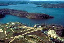
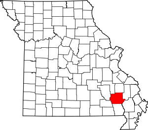
Wappapello is an unincorporated community in southeastern Wayne County, Missouri, United States. It is located approximately thirteen miles northeast of Poplar Bluff, next to Lake Wappapello.
Wappapello | |
|---|---|
 Wappapello Lake near the town of Wappapello, Missouri | |
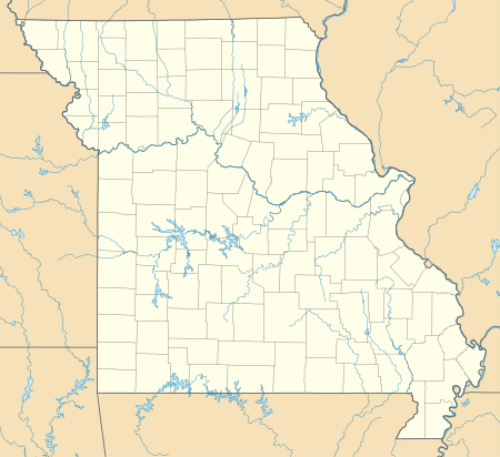
 Wappapello Location within the state of Missouri | |
| Coordinates: 36°56′08″N 90°16′15″W | |
| Country | United States |
| State | Missouri |
| County | Wayne |
| Elevation | 361 ft (110 m) |
| Time zone | UTC-6 (Central (CST)) |
| • Summer (DST) | UTC-5 (CDT) |
| GNIS feature ID | 752753[1] |
Wappapello was laid out in 1884 when the railroad was extended to that point.[2] The community has the name of a Native American chieftain.[3] A post office called Wappapello has been in operation since 1884.[4]
References
- "Wappapello, Missouri". Geographic Names Information System. United States Geological Survey.
- "Wayne County Place Names, 1928–1945". The State Historical Society of Missouri. Archived from the original on June 24, 2016. Retrieved January 1, 2017.
- Eaton, David Wolfe (1918). How Missouri Counties, Towns and Streams Were Named. The State Historical Society of Missouri. p. 371.
- "Post Offices". Jim Forte Postal History. Retrieved 1 January 2017.
Wappapello was founded by Samuel R. Kelley, a veteran of the Civil War. He was originally from Ohio, saw the Wappapello area as a young Union soldier, and homesteaded land there after the war.
This article is issued from Wikipedia. The text is licensed under Creative Commons - Attribution - Sharealike. Additional terms may apply for the media files.
