List of Indiana state historical markers in Union County
This is a list of the Indiana state historical markers in Union County.
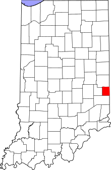
Location of Union County in Indiana
This is intended to be a detailed table of the official state historical marker placed in Union County, Indiana, United States by the Indiana Historical Bureau. The location of the historical marker and its latitude and longitude coordinates are included below when available, along with its name, year of placement, and topics as recorded by the Historical Bureau. There is 1 historical marker located in Union County.[1]
Historical markers
| Marker title | Image | Year placed | Location | Topics |
|---|---|---|---|---|
| Maj. Gen. Ambrose E. Burnside 1824-1881[2] |  |
1963 | Northwestern portion of the courthouse lawn, at the junction of Main and Union Streets, in Liberty 39°38′7″N 84°55′50″W |
Science, Medicine, and Inventions, Military |
gollark: ```UUID=33a5cc0a-c16c-4727-97f4-0743322422c7 none swap sw 0 0UUID=f4701865-b6bb-4768-a15f-de75ff08e2ab / btrfs defaults 0 1UUID=3587-4D19 /boot/efi vfat defaults 0 2tmpfs /tmp tmpfs defaults,nosuid,nodev 0 0UUID="11dbf45f-fad2-4bd5-af54-a97465b71961" /home xfs defaults 0 1cgroup /sys/fs/cgroup/systemd cgroup none,name=systemd 0 0```The last line is because docker is stupid.
gollark: I use btrfs for root, fat32 for /boot and xfs for /home so I can combine the downsides of many filesystems at once.
gollark: ext must be incredible.
gollark: 4GB?! Impossible.
gollark: PotatOS.
See also
References
- "Indiana Historical Markers by County". State of Indiana. Retrieved 2012-03-15.
- Maj. Gen. Ambrose E. Burnside 1824-1881, Indiana Historical Bureau, n.d. Accessed 2012-03-14.
External links
Municipalities and communities of Union County, Indiana, United States | ||
|---|---|---|
| Towns | Map of Indiana highlighting Union County | |
| Townships | ||
| Unincorporated communities | ||
This article is issued from Wikipedia. The text is licensed under Creative Commons - Attribution - Sharealike. Additional terms may apply for the media files.