List of Indiana state historical markers in LaGrange County
This is a list of the Indiana state historical markers in LaGrange County.
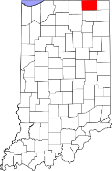
Location of LaGrange County in Indiana
This is intended to be a detailed table of the official state historical marker placed in LaGrange County, Indiana, United States by the Indiana Historical Bureau. The location of the historical marker and its latitude and longitude coordinates are included below when available, along with its name, year of placement, and topics as recorded by the Historical Bureau. There is 1 historical marker located in LaGrange County.[1]
Historical marker
| Marker title | Image | Year placed | Location | Topics |
|---|---|---|---|---|
| The La Grange Phalanx[2] | 1966 | U.S. Route 20, 0.7 miles east of its junction with State Road 3 west of Brushy Prairie 41°38′31″N 85°15′54″W |
Historic District, Neighborhoods, and Towns |
gollark: Oh dear.
gollark: hd!histohist -1
gollark: hd!histohist 3
gollark: hd!histohist
gollark: In <#738758410446569563>.
See also
References
- "Indiana Historical Markers by County". State of Indiana. Retrieved 2012-03-15.
- The La Grange Phalanx, Indiana Historical Bureau, n.d. Accessed 2012-03-14.
External links
Municipalities and communities of LaGrange County, Indiana, United States | ||
|---|---|---|
| Towns | Map of Indiana highlighting LaGrange County | |
| Townships | ||
| CDP | ||
| Other unincorporated communities | ||
| Footnotes | ‡This populated place also has portions in an adjacent county or counties | |
This article is issued from Wikipedia. The text is licensed under Creative Commons - Attribution - Sharealike. Additional terms may apply for the media files.