Kuliai eldership
Kuliai eldership (Lithuanian: Kulių seniūnija) is an eldership in Plungė District Municipality to the southwest from Plungė. The administrative center is Kuliai.
Kuliai eldership Kulių seniūnija | |
|---|---|
.png) Location in the Plungė District Municipality | |
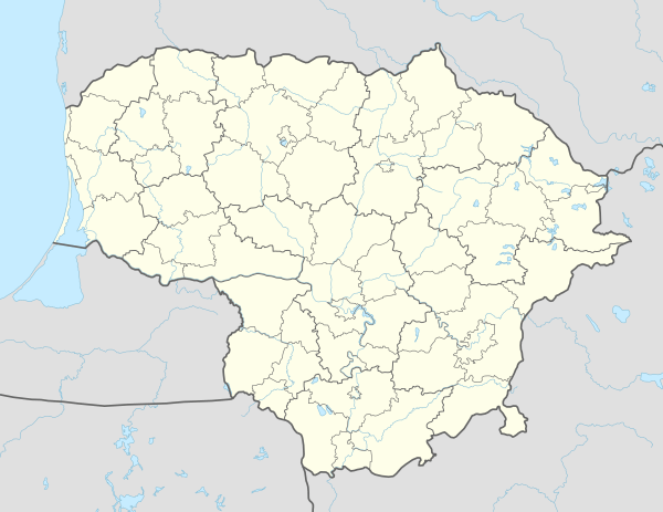 Kuliai eldership Location in Lithuania | |
| Coordinates: 55°48′N 21°40′E | |
| Country | |
| County | Telšiai County |
| Municipality | Plungė District Municipality |
| Seat | Kuliai |
| Area | |
| • Total | 128.45 km2 (49.59 sq mi) |
| Population (2011)[2] | |
| • Total | 1,193 |
| • Density | 9.3/km2 (24/sq mi) |
| Time zone | UTC+2 (EET) |
| • Summer (DST) | UTC+3 (EEST) |
Largest towns and villages
- Kuliai
- Kumžaičiai
- Šiemuliai
Other villages
- Blidakiai
- Čiūželiai (no inhabitants)
- Didieji Mostaičiai
- Karklėnai (a part of village)
- Mažieji Mostaičiai
- Mižuikai
- Paalantis
- Palioniškiai
- Reiskiai
gollark: Paths are canonicalized before checking.
gollark: Nope, that's patched.
gollark: Also, it's Yafss.
gollark: Yet Another FS Sandbox.
gollark: Fun with sandboxing/VMs
References
- "Kulių seniūnija". Plungė District Municipality. 2012-01-23. Retrieved 2014-06-16.
- Results of the 2011 Population and Housing Census of the Republic of Lithuania (PDF). Statistics Lithuania. 2013. p. 577. ISBN 978-9955-797-19-7.
This article is issued from Wikipedia. The text is licensed under Creative Commons - Attribution - Sharealike. Additional terms may apply for the media files.