Kolgaon, Haryana
Kolgaon is a village in the Ferozepur Jhirka sub-division of Nuh District, Haryana state, India.[1]
Kolgaon | |
|---|---|
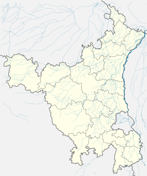 Kolgaon Location in Haryana, India  Kolgaon Kolgaon (India) | |
| Coordinates: 27°39′48″N 76°56′57″E | |
| Country | India |
| State | Haryana |
| District | Nuh |
| Elevation | 187 m (614 ft) |
| Population (2011) | |
| • Total | 2,862 |
| Languages | |
| • Official | Hindi |
| Time zone | UTC+5:30 (IST) |
| ISO 3166 code | IN-HR |
| Website | mewat |
Geography
It is located next to Aravalli range on the foothill of Kalinjar-Mohun-Kolgaon ridge of Delhi Supergroup.[3]
Demography
It had a population of 2862 in 498 houses as per 2011 Census of India. 1497 of the population were noted as male and 1365 female.[1]
Administration
The village local governance is managed by the elected panchayat headed by the Sarpanch.
gollark: Because discord bad.
gollark: I've sent this reply.
gollark: Also, scam emails: surprisingly maybe fun?
gollark: We're not counting those as good.
gollark: It's fairly fast and has somewhat okay libraries?
References
- "Census of India 2011". Office of the Registrar General & Census Commissioner, India. Retrieved 5 January 2018.
- Singh, Amit (30 July 2018). "For Mewat's Muslims, Cows Now a Source of Both Livelihood and Fear". The Wire. The Wire. Retrieved 5 January 2018.
- 1996, "Records of the Geological Survey of India", Volume 131, Parts 6-8, page 46.
This article is issued from Wikipedia. The text is licensed under Creative Commons - Attribution - Sharealike. Additional terms may apply for the media files.