Killyman
Killyman (from Irish: Cill na mBan, meaning "church of the women")[1] is a small village and a civil parish in Northern Ireland, situated on the eastern boundary of County Tyrone and extending into County Armagh. The majority of townlands are in the historic barony of Dungannon Middle in County Tyrone, the rest being in the barony of Oneilland West in County Armagh.[2]
Killyman
| |
|---|---|
 St Andrew's Church (Church of Ireland), Killyman | |
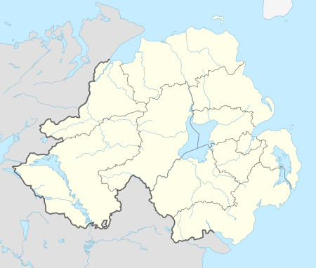 Killyman Location within Northern Ireland | |
| County | |
| Country | Northern Ireland |
| Sovereign state | United Kingdom |
| Postcode district | BT71 |
| Dialling code | 028 |
It contains the small, predominantly Protestant, settlement of Killyman proper, which lies some 4 km (2.5 mi) southeast of Dungannon and immediately south of the M1 motorway,[3] in the townland of Laghey.[1] The settlement, which developed around a crossroads on the road from Belfast to Dungannon, consists mainly of a number of single dwellings, although there has also been some in-depth housing development in recent years. Local facilities include a small number of shops, primary schools and churches. Mortimer O'Sullivan was the Church of Ireland rector here in the 1830s.[4]
Notable locals
- Fra Fee, actor and singer
Schools
- Killyman Primary School
- Laghey Primary School
Sport
- Killyman St. Mary's, local GAA club.
Townlands
The civil parish contains the following townlands:[2]
- Annaghbeg
- Ballynakilly
- Bernagh
- Bogbane
- Bovean
- Cavan
- Clonmore
- Clontyclay
- Coash
- Cohannan
- Corr
- Corrainy
- Culnagrew
- Derrycorry North
- Derrycorry South
- Derrygally
- Derrygally Demesne
- Derryhirk
- Derryhubbert East
- Derryhubbert North
- Derryhubbert South
- Derrymeen
- Dreemore
- Drumard Cross
- Drumard Glebe
- Drumaspil
- Drumcrow
- Drumenagh
- Drumhorrik
- Drumkee
- Drummuck
- Dungorman
- Gortrea
- Gortshalgan
- Keenaghan
- Kinego
- Laghey
- Lederg
- Lisnahoy
- Lowertown
- Moyroe
- Mullaghteige
- Mullenakill North
- Mullenakill South
- Mullenakill West
- Tamlaghtmore
- Tartlaghan
- Tempanroe
- True
See also
References
- "Killyman". Place Names NI. Retrieved 12 May 2015.
- "Killyman". IreAtlas Townlands Database. Retrieved 12 May 2015.
- Killyman profile at Lewis's Topographical Dictionary of Ireland, 1837 from-ireland.net; accessed 1 May 2014.
- A guide to an Irish gentleman in his search for a religion, books.google.co.uk; accessed 1 May 2014.