Kigorobya
Kigorobya, is a town in the Western Region of Uganda. It is an urban center in the Hoima District Administration.[1] Kigorobya also refers to a sub-county in Uganda, where the town is located.[1]
Kigorobya | |
|---|---|
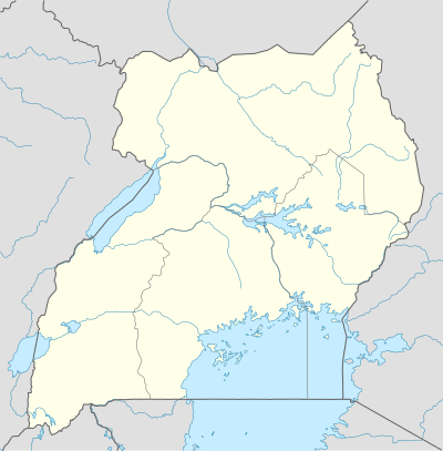 Kigorobya Map of Uganda showing the location of Kigorobya | |
| Coordinates: 01°37′05″N 31°18′32″E | |
| Country | |
| Region | Western Region of Uganda |
| District | Hoima District |
| Elevation | 1,101 m (3,612 ft) |
| Population (2018 Estimate) | |
| • Total | 5,420 |
| Time zone | UTC+3 (EAT) |
Location
The town is located in Hoima District, in the Western Region of Uganda, approximately 25 kilometres (16 mi), north-west of Hoima, the location of the district headquarters.[2] Kigorobya is about 62 kilometres (39 mi), by road, west of Masindi, the largest city in Bunyoro sub-region.[3]
The town lies at an average elevation of 1,101 metres (3,612 ft), above sea level.[4] The geographical coordinates of Kigorobya are 01°37'05.0"N, 31°18'32.0"E (Latitude:1.618056; Longitude:31.308889).[5]
Population
The population of Kigorobya Town is estimated at 5,420 people, as of September 2018.[6]
See also
References
- LCMT.org (21 September 2018). "Kigorobya Is A City In Uganda". LCMT.org. Retrieved 21 September 2018.
- Globefeed.com (21 September 2018). "Distance between Hoima, Uganda and Kigorobya, Uganda". Globefed.com. Retrieved 21 September 2018.
- Globefeed.com (21 September 2018). "Distance between Kigorobya, Uganda and Masindi, Uganda". Globefeed.com. Retrieved 21 September 2018.
- Floodmap.net (21 September 2018). "The Elevation of Kigorobya, Uganda". Floodmap.net. Retrieved 21 September 2018.
- Google (21 September 2018). "Location of Kigorobya, Uganda" (Map). Google Maps. Google. Retrieved 21 September 2018.
- Places-in-the-world.com (21 September 2018). "Population of Kigorobya, Uganda". Places-in-the-world.com. Retrieved 21 September 2018.
External links
Capital: Hoima | ||
| Towns and villages | 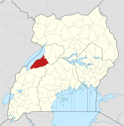 | |
| Geography | ||
| Economy | ||
| Banking | ||
| Energy |
| |
| Transport | ||
| Health | ||
| Notable landmarks | ||
| Notable people |
| |