Kerki
Kerki is a town in eastern Turkmenistan. It is located in Lebap Province. It was formerly known as Zamm[1] and, between 1999 and 2017, as Atamyrat. It is situated on a plain on the left bank of the Amu Darya river.
- For the village in Azerbaijan, see Karki, Azerbaijan.
Kerki | |
|---|---|
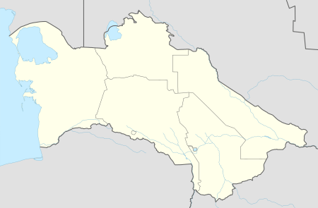
 Kerki Location in Turkmenistan | |
| Coordinates: 37°51′11″N 65°14′13″E | |
| Country | |
| Province | Lebap Province |
| District | Kerki District |
Overview
Nearby towns and villages include Mukry (3.3 nm), Amyderya (2.1 nm), Surkhi (3.1 nm) and Kiikchi (2.2 nm).[2]
The town is served by Kerki Airport located 3 kilometres (2 mi) from the town centre. In August 2012, the state national company Turkmenistan Airlines announced an international tender to design and construct a new complex with the capacity of 100 passengers per hour.[3] In February 2013 a road bridge connecting the city with village Kerkichi was commissioned [4]
In 1999, the railway line from Türkmenabat to Kerki was finished, linking Kerki to the Turkmen railway network without having to take a detour into neighbouring Uzbekistan.[5] In late 2016, a railway line was built south to Imamnazar on the border with Afghanistan and further to Aqina, turning Kerki into a railway hub.[6] It is expected to become part of a railway corridor through northern Afghanistan.
The name of the city - Kerki - is a Turkified pronunciation of the original Persian name Karkuh (کرکوه) meaning "Deaf Mountain.[7] In 1999, the city was renamed Atamyrat by Turkmen president Saparmurat Niyazov in honour of his father Atamyrat Niyazov, who had worked here as a teacher before being killed in World War II. In November 2017 the name was changed back to Kerki by president Gurbanguly Berdimuhamedow.[8]
References
-
- Bosworth, C. E. (1989). "ĀMOL (ĀMŪYA)". Archived copy. Encyclopaedia Iranica, Vol. I, Fasc. 9. pp. 982–983. Archived from the original on 2017-12-29. Retrieved 2016-02-08.CS1 maint: ref=harv (link) CS1 maint: archived copy as title (link)
- Falling rain gazetteer
- "New Airport in Atamurat, East of Turkmenistan". The Gazette of Central Asia. Satrapia. 16 August 2012. Retrieved 16 August 2012.
- Президенты Украины и Туркмении открыли мост через Амударью и заложили новый аэропорт
- Grantham, Andrew (15 July 2008). "Atamyrat to Afghanistan railway plan". Retrieved 17 January 2017.
- Salehai, Zarghona (28 November 2016). "Afghan-Turkmenistan railroad inaugurated". Pajhwok Afghan News. Retrieved 17 January 2017.
- Muqaddasī, Muḥammad ibn Aḥmad, and M. J. de Goeje. 1967. Kitāb Aḥsan al-taqāsīm fī maʻrifat al-aqālīm. Bibliotheca geographorum Arabicorum, pars 3. Laydin: Maṭbaʻ Brīl.
- "Внесены изменения в административно-территориальное деление Лебапского велаята" [Changes to the administrative-territorial divisions in Lebap velayat] (in Russian). Türkmenistan Bu Gün. 2017-11-27. Retrieved 2018-01-05.