Juan Enrique Airport
Juan Enrique Airport Spanish: Aeropuerto de Juan Enrique, (ICAO: SCAU) is an airport 16 kilometres (10 mi) west-southwest of Paine, a city in the Santiago Metropolitan Region of Chile.
Juan Enrique Airport | |||||||||||
|---|---|---|---|---|---|---|---|---|---|---|---|
| Summary | |||||||||||
| Airport type | Public | ||||||||||
| Serves | Paine, Chile | ||||||||||
| Elevation AMSL | 1,263 ft / 385 m | ||||||||||
| Coordinates | 33°53′35″S 70°53′07″W | ||||||||||
| Map | |||||||||||
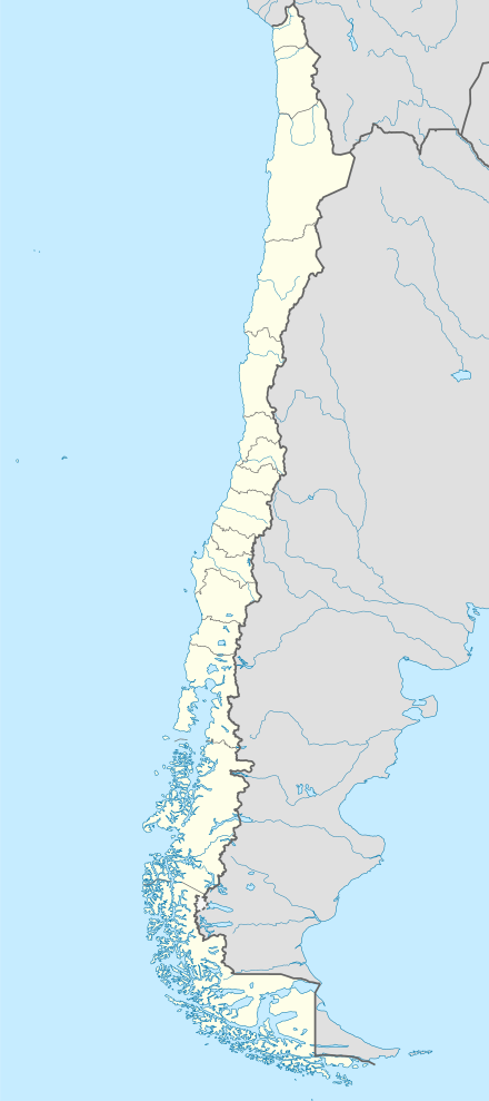
 SCAU Location of Juan Enrique Airport in Chile | |||||||||||
| Runways | |||||||||||
| |||||||||||
The airport is on an alluvial slope running north from mountain peaks to the south. Mountainous ridges run from the south to both east and west of the runway.
The Talagante non-directional beacon (Ident: TAL) is located 12.9 nautical miles (23.9 km) north of the airport.[4]
See also


- Transport in Chile
- List of airports in Chile
References
- Airport record for Paine Airport at Landings.com. Retrieved 2013-09-10
- Google (2013-09-10). "location of Juan Enrique Airport" (Map). Google Maps. Google. Retrieved 2013-09-10.
- Airport information for Juan Enrique Airport at Great Circle Mapper.
- Talagante NDB
External links
- OpenStreetMap - Juan Enrique
- OurAirports - Juan Enrique
- SkyVector - Juan Enrique
- Accident history for Juan Enrique Airport at Aviation Safety Network
This article is issued from Wikipedia. The text is licensed under Creative Commons - Attribution - Sharealike. Additional terms may apply for the media files.