Jilemnice
Jilemnice (Czech pronunciation: [ˈjɪlɛmɲɪtsɛ]; German: Starkenbach) is a town in the Liberec Region of the Czech Republic. It has about 5,400 inhabitants. It lies near the Krkonoše.
Jilemnice | |
|---|---|
Town | |
 Saint Lawrence Church | |
 Flag  Coat of arms | |
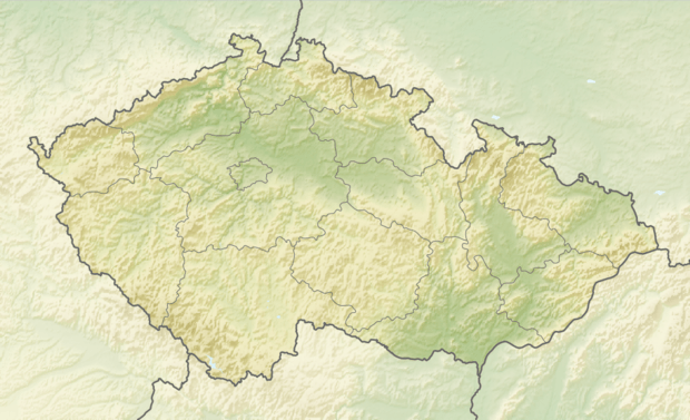
 Jilemnice Location in the Czech Republic | |
| Coordinates: 50°36′34″N 15°30′23″E | |
| Country | |
| Region | Liberec |
| District | Semily |
| First mentioned | 1356 |
| Government | |
| • Mayor | Vladimír Richter |
| Area | |
| • Total | 13.86 km2 (5.35 sq mi) |
| Elevation | 451 m (1,480 ft) |
| Population (2020-01-01[1]) | |
| • Total | 5,401 |
| • Density | 390/km2 (1,000/sq mi) |
| Time zone | UTC+1 (CET) |
| • Summer (DST) | UTC+2 (CEST) |
| Postal code | 514 01 |
| Website | www.mestojilemnice.cz |
History
It belonged to the younger branch of counts Harrach.
Until 1918, Jilemnice was part of the Austrian monarchy (Austria side after the compromise of 1867), head of the district of the same name, one of the 94 Bezirkshauptmannschaften in Bohemia.[2]
Notable people
- Jan Weiss (1892–1972), writer
- Jaroslav Havlíček (1896–1943), writer
- Josef Jan Hanuš (1911–1992), World War II pilot
- Jakub Hlava (born 1979), ski jumper
- Aleš Vodseďálek (born 1985), Nordic combined skier
- Eva Puskarčíková (born 1991), biathlete
Twin towns – sister cities


gollark: GTech™ recommends against destructive lunar interaction, for your safety.
gollark: That's very boring. The potatOS privacy policy does it better.
gollark: How can this be used for good* and ethical** uses?
gollark: I agree.
gollark: I am always my alts.
References
- "Population of Municipalities – 1 January 2020". Czech Statistical Office. 2020-04-30.
- Die postalischen Abstempelungen auf den österreichischen Postwertzeichen-Ausgaben 1867, 1883 und 1890, Wilhelm Klein, 1967
- "Úvodní strana". mestojilemnice.cz (in Czech). Město Jilemnice. Retrieved 2020-08-13.
This article is issued from Wikipedia. The text is licensed under Creative Commons - Attribution - Sharealike. Additional terms may apply for the media files.