Investigator Shoal
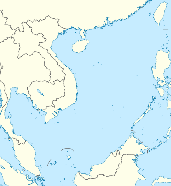
Investigator Shoal, known as Yuya Ansha (Chinese: 榆亚暗沙) in China, Terumbu Peninjau in Malaysia, Pawikan in the Philippines, and bãi Thám Hiểm in Vietnam, is located in the SW of Dangerous Ground in the Spratly Islands of the South China Sea.[1]
| Disputed island Other names: Yuya Ansha 榆亚暗沙; Terumbu Peninjau; Pawikan; Bãi Thám Hiểm | |
|---|---|
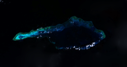
 Satellite image of Investigator Shoal by NASA. | |
| Geography | |
 | |
| Location | South China Sea |
| Coordinates | 8°6′51″N 114°42′7″E |
| Archipelago | Spratly Islands |
| Administered by | |
| Malaysia | |
| Claimed by | |
| People's Republic of China | |
| City | Sansha, Hainan |
| Philippines | |
| Municipality | Kalayaan, Palawan |
| Republic of China (Taiwan) | |
| Municipality | Cijin, Kaohsiung |
| Vietnam | |
| District | Truong Sa, Khanh Hoa |
It is an atoll above water at low tide; some large rocks at the western end might be visible at high water. The atoll has a total length of 32.1 kilometres (19.9 mi) and is up to 10.6 km wide.[2] The total area of the atoll is 188 square kilometres (73 sq mi). The lagoon is up to 45 meters deep.[3]
The Royal Malaysian Navy has maintained an "offshore naval station" there called "Station Papa" since 1999.[4]
References
- NGA Chart 93047, oceangrafix.com
- Measured from a satellite image with the wikimapia measuring tool at Wikimapia
- Atoll Area, Depth and Rainfall, rock.geosociety.org
- Joshua Ho; Sam Bateman (15 February 2013). Maritime Challenges and Priorities in Asia: Implications for Regional Security. Routledge. pp. 74–. ISBN 978-1-136-29820-2.
This article is issued from Wikipedia. The text is licensed under Creative Commons - Attribution - Sharealike. Additional terms may apply for the media files.