Royal Captain Shoal
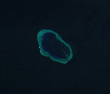
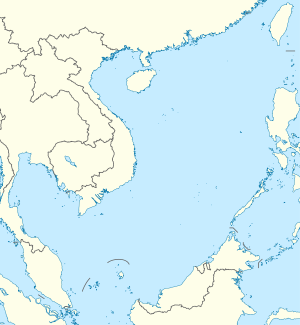
Royal Captain Shoal (Chinese: Jiangzhang Ansha) is a shoal in the South China Sea and a part of Spratly Islands. It is located in the vicinity of Northeast Investigator Shoal and Half Moon Shoal, at the eastern edge of the area named "Dangerous Ground".[1]

| Disputed island Other names: Jiangzhang Ansha | |
|---|---|
| Geography | |
 | |
| Location | South China Sea |
| Coordinates | 9°01′N 116°40′E |
| Archipelago | Spratly Islands |
| Claimed by | |
History and etymology
The shoal is named after the East India company ship Royal Captain that ran aground in the vicinity of this shoal in 1773. The ship was subsequently wrecked and lost.[2]
Location and topography
Spread over an area of 8 square kilometres, Royal Captain Shoal is centered at 9°01’N 116°40’E near the Palawan passage. It is located 16 nautical miles southeast of Northeast Investigator Shoal, and north of Half Moon Shoal.[3] It lies off the coast of Palawan, Philippines and consists of a few rocks that are above water at low tide that surrounded a lagoon.[4] The rocks in the shoal dry at 1.2 metres. The lagoon has depths of up to 31 metres and contains a number of coral heads.[1]
Named features in this shoal include Observation Rock (at the northern tip of the shoal) that shows at half tide. The shoal can only be entered at high water.[5]
References
- Hancox, D.J.; Prescott, John Robert (1995). A geographical description of Spratly islands (Volume 1, Number 6 ed.). Durham, UK: IBRU (International Boundaries Research Unit). p. 39.
- Poling, Gregory (26 July 2013). The South China Sea in focus (1 ed.). Washington DC: Centre for Strategic and International Studies / Rowman and Littlefield.
- United States Coast Pilot - Philippine islands (Volume 2). US Coast and geodetic Survey. 2001.
- Rosenberg, David (19 August 2011). Digital Gazetter of the South China Sea. Retrieved 2 September 2016.
- Mccarthy, Terry (8 March 1999). Reef wars. New York: Time.