Idmiston
Idmiston is a village and civil parish in Wiltshire, England. The village is about 3 miles (4.8 km) southeast of Amesbury and 6 miles (10 km) northeast of Salisbury. The parish includes the villages of Porton and Gomeldon; all three villages are on the River Bourne and are linked by the A338 road.
| Idmiston | |
|---|---|
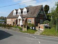
 The Old School House | |
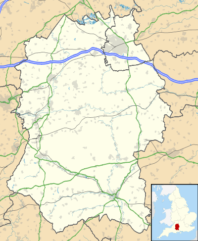
 Idmiston Location within Wiltshire | |
| Population | 2,130 (in 2011)[1] |
| OS grid reference | SU197373 |
| Civil parish |
|
| Unitary authority | |
| Ceremonial county | |
| Region | |
| Country | England |
| Sovereign state | United Kingdom |
| Post town | SALISBURY |
| Postcode district | SP4 |
| Dialling code | 01980 |
| Police | Wiltshire |
| Fire | Dorset and Wiltshire |
| Ambulance | South Western |
| UK Parliament | |
| Website | Parish Council |
Porton Down military science park is in the parish, separated from Idmiston by the railway line. It is home to the Defence Science and Technology Laboratory and related businesses.
History
The Port Way, a Roman road towards Sorviodunum (Old Sarum), followed the Bourne valley and passed close to the present settlements.[2]
Notable buildings
Idmiston Manor is a house from c. 1600 with 17th-century interior features[3] and an arched gateway from the same period;[4] both house and gateway are Grade II* listed. The Old Rectory, opposite the church, also dates from the early 17th century and is also Grade II*.[5]
The Church of England parish church was built in the 12th century. It has been designated as a Grade I listed building[6] and is now in the care of the Churches Conservation Trust.[7]
Railway
In 1857 the London and South Western Railway company opened its line from Andover to Milford station at Salisbury, following the Bourne valley through the parish. There was a station at Porton from the beginning; between 1943 and 1968 a halt at Idmiston served Porton Down military camp.[8] The railway remains in use as part of the West of England Main Line but there are no local stations.
Amenities
The local primary school for Idmiston village is St Nicholas CofE (VA) Primary School, Idmiston Road, Porton. Idmiston had its own school from 1833, replaced by a new building in 1869; it was closed in 1972 after the new school was opened at Porton, to cater for the increased local population.[9]
References
- "Wiltshire Community History - Census". Wiltshire Council. Retrieved 17 December 2015.
- Codrington, Thomas (1903). Roman Roads in Britain. London: The Society for Promoting Christian Knowledge. p. 302. Retrieved 19 December 2015.
- Historic England. "Idmiston Manor (1355682)". National Heritage List for England. Retrieved 17 December 2015.
- Historic England. "Front gateway to Idmiston Manor and abutting walls (Idmiston)". National Heritage List for England. Retrieved 17 December 2015.
- Historic England. "Old Rectory (1135690)". National Heritage List for England. Retrieved 17 December 2015.
- "Church of All Saints". historicengland.org.uk. English Heritage. Retrieved 2 October 2010.
- "All Saints, Idmiston". Churches Conservation Trust. Retrieved 2 October 2010.
- Oakley, Mike (2004). Wiltshire Railway Stations. Wimborne: The Dovecote Press. p. 72. ISBN 1904349331.
- "Idmiston C. of E. Aided Primary School". Wiltshire Community History. Wiltshire Council. Retrieved 17 December 2015.
External links
- "Idmiston". Wiltshire Community History. Wiltshire Council. Archived from the original on 23 October 2015. Retrieved 15 December 2015.
![]()