Humboldt River Ranch, Nevada
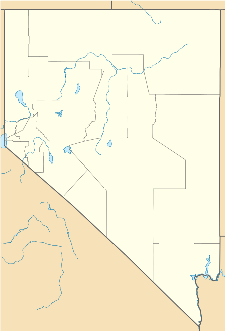
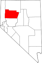
Humboldt River Ranch is a census-designated place (CDP) in Pershing County, Nevada, United States. As of the 2010 census the population was 119.[1]
Humboldt River Ranch, Nevada | |
|---|---|
 Humboldt River Ranch | |
| Coordinates: 40°28′1″N 118°16′39″W | |
| Country | United States |
| State | Nevada |
| Area | |
| • Total | 12.9 sq mi (33.3 km2) |
| • Land | 12.9 sq mi (33.3 km2) |
| • Water | 0.0 sq mi (0.0 km2) |
| Elevation | 4,316 ft (1,316 m) |
| Population (2010) | |
| • Total | 119 |
| • Density | 9.3/sq mi (3.6/km2) |
| Time zone | UTC-8 (Pacific (PST)) |
| • Summer (DST) | UTC-7 (PDT) |
| Area code(s) | 775 |
| FIPS code | 32-34100 |
Geography
Humboldt River Ranch is located on the east side of Interstate 80 in northern Nevada, 25 miles (40 km) north (eastbound) of Lovelock and 50 miles (80 km) southwest of Winnemucca. The community is served by Exit 129 on I-80. Nevada State Route 401 leads west 1 mile (1.6 km) to Rye Patch State Recreation Area, located at Rye Patch Dam on the Humboldt River.
According to the U.S. Census Bureau, the Humboldt River Ranch CDP has an area of 12.9 square miles (33.3 km2), all land.[1]
gollark: Ah yes, I should compile it.
gollark: Didn't old unix have `compress` or something using LZW?
gollark: Oh, so you mean this `hdr` goes at the start and the `dofs` thing tells you where the bit appended to the end is?
gollark: Perhaps the headers should also store the location of the last header, in case of [DATA EXPUNGED].
gollark: There are some important considerations here: it should be able to deal with damaged/partial files, encryption would be nice to have (it would probably work to just run it through authenticated AES-whatever when writing), adding new files shouldn't require tons of seeking, and it might be necessary to store backups on FAT32 disks so maybe it needs to be able of using multiple files somehow.
References
- "Geographic Identifiers: 2010 Demographic Profile Data (G001): Humboldt River Ranch CDP, Nevada". U.S. Census Bureau, American Factfinder. Archived from the original on February 12, 2020. Retrieved January 28, 2013.
This article is issued from Wikipedia. The text is licensed under Creative Commons - Attribution - Sharealike. Additional terms may apply for the media files.

