Hempholme
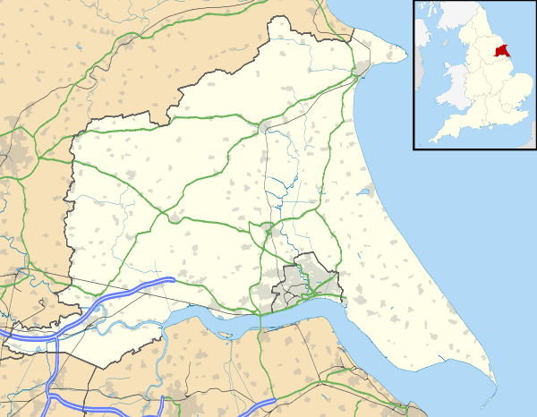
Hempholme is a hamlet in the East Riding of Yorkshire, England, in an area known as Holderness. It is situated approximately 8 miles (13 km) north-east of Beverley town centre, and 1 mile (1.6 km) east of the Driffield Navigation.

Haverham Farm, Hempholme
| Hempholme | |
|---|---|
 Hempholme Location within the East Riding of Yorkshire | |
| OS grid reference | TA089504 |
| • London | 165 mi (266 km) S |
| Civil parish | |
| Unitary authority | |
| Ceremonial county | |
| Region | |
| Country | England |
| Sovereign state | United Kingdom |
| Post town | DRIFFIELD |
| Postcode district | YO25 |
| Dialling code | 01964 |
| Police | Humberside |
| Fire | Humberside |
| Ambulance | Yorkshire |
| UK Parliament | |
History
In 1823 Hempholme was in the civil parish of Leven, and the Wapentake and Liberty of Holderness. Population at the time was 93. Occupations at the time included six farmers, some of whom were yeomen, and a schoolmaster.[2]
Governance
Hempholme forms part of the civil parish of Brandesburton.
The civil parish was in the Beverley and Holderness parliamentary constituency until the 2010 general election when it was transferred to the constituency of East Yorkshire.[1]
gollark: So I was looking at alternatives, and I remembered that I had a prototype search thing sitting on my disk somewhere.
gollark: Basically, I need a search engine for my personal files, except I have a *lot* of personal files and recoll is really slow.
gollark: And I'm not sure if that's reasonable.
gollark: Yes, but if I sell software, that might imply that it and the ideas within can be "owned" somehow.
gollark: ↑
References

- "Are you ready to vote in the next election?". East Riding News. East Riding of Yorkshire Council: p. 3. April 2010.
- Baines, Edward (1823): History, Directory and Gazetteer of the County of York, p. 217
- Gazetteer – A–Z of Towns Villages and Hamlets. East Riding of Yorkshire Council. 2006. p. 6.
This article is issued from Wikipedia. The text is licensed under Creative Commons - Attribution - Sharealike. Additional terms may apply for the media files.