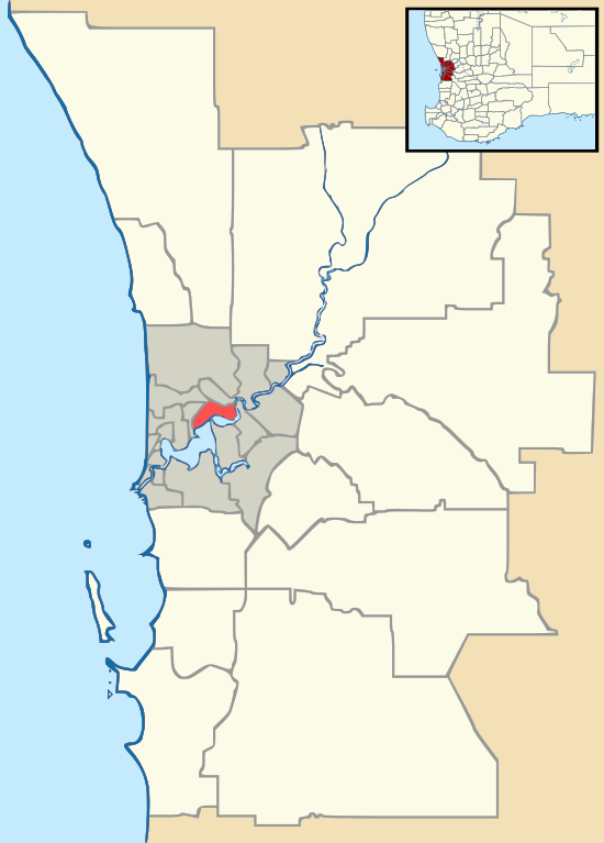
Helena Valley, Western Australia
Helena Valley is the name of a river valley and a locality in the foothills of the Darling Scarp in Perth, Western Australia.
| Helena Valley Perth, Western Australia | |||||||||||||||
|---|---|---|---|---|---|---|---|---|---|---|---|---|---|---|---|
 Helena Valley | |||||||||||||||
| Coordinates | 31.938°S 116.068°E | ||||||||||||||
| Population | 3,683 (2016 census)[1] | ||||||||||||||
| Postcode(s) | 6056 | ||||||||||||||
| LGA(s) | Shire of Mundaring | ||||||||||||||
| State electorate(s) | Midland | ||||||||||||||
| Federal Division(s) | Hasluck | ||||||||||||||
| |||||||||||||||
Geology
The river valley is the centre of the catchment of the Helena River and extends from the edge of the Darling Scarp where Boya, Gooseberry Hill and Helena Valley define the "mouth" of the valley that opens to the Swan Coastal Plain, east and south east past Mundaring Weir and Lake C.Y. O'Connor to its origins in the region of Mount Dale.
The soils of Helena Valley are characteristic of the eastern Swan Coastal Plain, ranging from sand to loam and clay, with a neutral pH tending towards moderately acid.[2]
Locality
The locality is within the Shire of Mundaring, situated just south west of Boya and Greenmount Hill, 5 kilometres from Midland. It consists of many rural houses, but also contains six estates, and a shopping centre located in one of the estates. Helena Valley Primary School is located at the base of Greenmount Hill.[3]
Developments
The locality has been subject to a number of developments that were divisive in their planning and implementation - somewhat similar to Smith's beach, with public perceptions of the local government and state planning review processes eventually giving way to the developers' wishes.[4]
Early settlers
- James Drummond, noted botanist after which the street Drummond Gardens is named
Notes
- Australian Bureau of Statistics (27 June 2017). "Helena Valley (State Suburb)". 2016 Census QuickStats. Retrieved 14 January 2018.

- "Great Gardens Soil Profile". Retrieved 20 May 2010.
- http://www.helenavalley.wa.edu.au/ Helena Valley Primary School
- http://www.cedarwoods.com.au/Investors/Announcements/ASX-Announcements/Cedar-Woods--Hazelmere-Acqusition.aspx Archived 16 February 2011 at the Wayback Machine Cedar Woods has undertaken extensive development throughout Helena Valley over a number of years and the success of its developments within this locality augurs well for the Bushmead site - conceals a complex history of responses to the various stages of development
References
- Elliot, Ian (1983). Mundaring - A History of the Shire (2nd ed.). Mundaring: Mundaring Shire. ISBN 0-9592776-0-9.
- Spillman, Ken (2003). Life was meant to be here: community and local government in the Shire of Mundaring. Mundaring: Mundaring Shire. ISBN 0-9592776-3-3.
External links
- Helena Valley on Geoscience Australia
- REIWA suburb profile for Helena Valley