Harrowbarrow
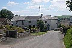
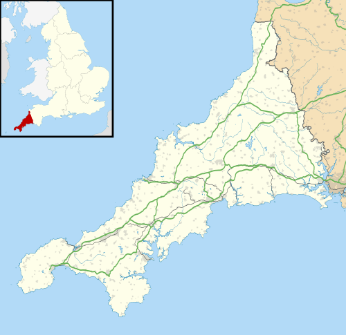
Harrowbarrow (Cornish: Kelliskovarnek[1]) is a village in the parish of Calstock in east Cornwall, England.[2][3]
Harrowbarrow
| |
|---|---|
 Harrowbarrow | |
 Harrowbarrow Location within Cornwall | |
| OS grid reference | SX397702 |
| Civil parish | |
| Unitary authority | |
| Ceremonial county | |
| Region | |
| Country | England |
| Sovereign state | United Kingdom |
| Post town | Callington |
| Postcode district | PLl7 |
All Saints, Harrowbarrow
In 1870 a parishioner presented the Rector with a piece of land, near the Prince of Wales Mine, and the church was designed by Mr J Piers St Aubyn and was built as a school and a mission chapel for £700. The church seats up to eighty worshippers.
gollark: They mostly just seem to have faster CPUs I won't use, higher resolution displays I don't particularly want, bigger ones I cannot actually hold, and excessive thinness at the expense of all else.
gollark: Batteries degrade after not very long, however.
gollark: This isn't very useful. You don't know how fast it decelerates on impact.
gollark: I think it was the S5. Definitely something around then.
gollark: And yet the Galaxy S5 was waterproof and had a replaceable battery. Curious.
References
- "Kessedhek rag Arwodhyow ha Henwyn Leow" (.pdf) (in Cornish). Cornwall Council. 19 April 2013. Retrieved 8 September 2019.
- Ordnance Survey: Landranger map sheet 201 Plymouth & Launceston (Map). Ordnance Survey. ISBN 978-0-319-23287-3.
- Harrowbarrow; Explore Britain
This article is issued from Wikipedia. The text is licensed under Creative Commons - Attribution - Sharealike. Additional terms may apply for the media files.