Harriston, Missouri
Harriston is an unincorporated community in Cooper County, in the U.S. state of Missouri.[1] The community was located along the Missouri–Kansas–Texas Railroad line approximately three miles southwest of Pilot Grove.[2]
History
Harriston was laid out in 1873 by Dr. N. W. Harris, and named for him.[3] A post office called Harriston was established in 1873, and remained in operation until 1908.[4]
gollark: Or kilohashes, actually.
gollark: Shouldn't it be kHz?
gollark: And if you just want to scrape the site's HTML to get information, tough; the class names are seemingly deliberately obfuscated, there's no semantic HTML, and a lot of stuff is paginated (which admittedly is fine for actual browser use).
gollark: It seems to me as if it's deliberately designed to make third-party stuff as annoying as possible. The examples are all for PHP, it uses a weird system[1] instead of fairly standardized HTTP response codes, there are some special cases (-2 and -1 on hoursleft on a dragon) which are a bit weird, and the API keys are request-only. I emailed TJ09 asking for one and got no response (EDIT: oops, there's a request form. Either I missed that or it was added recently.)
gollark: It's a shame the DC API isn't more, well, usable. There could be loads of cool stuff like that made.
References
- U.S. Geological Survey Geographic Names Information System: Harriston, Missouri
- Booneville, MO, 1:125,000 Topographic Quadrangle, USGS, 1888 (1933 ed.)
- "Cooper County Place Names, 1928–1945 (archived)". The State Historical Society of Missouri. Archived from the original on 24 June 2016. Retrieved 22 September 2016.CS1 maint: BOT: original-url status unknown (link)
- "Post Offices". Jim Forte Postal History. Retrieved 22 September 2016.
Municipalities and communities of Cooper County, Missouri, United States | ||
|---|---|---|
| Cities | 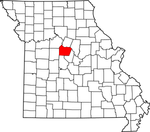 Map of Missouri highlighting Cooper County | |
| Villages | ||
| Townships | ||
| Unincorporated communities | ||
This article is issued from Wikipedia. The text is licensed under Creative Commons - Attribution - Sharealike. Additional terms may apply for the media files.