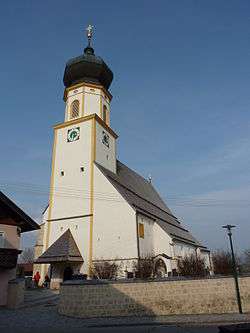
Höhnhart
Höhnhart is a municipality in the district of Braunau am Inn in the Austrian state of Upper Austria.
Höhnhart | |
|---|---|
 | |
 Coat of arms | |
 Höhnhart Location within Austria | |
| Coordinates: 48°09′52″N 13°16′11″E | |
| Country | Austria |
| State | Upper Austria |
| District | Braunau am Inn |
| Government | |
| • Mayor | Erich Priewasser (ÖVP) |
| Area | |
| • Total | 21.97 km2 (8.48 sq mi) |
| Elevation | 480 m (1,570 ft) |
| Population (2018-01-01)[2] | |
| • Total | 1,379 |
| • Density | 63/km2 (160/sq mi) |
| Time zone | UTC+1 (CET) |
| • Summer (DST) | UTC+2 (CEST) |
| Postal code | 5251 |
| Area code | 07755 |
| Vehicle registration | BR |
| Website | www.hoehnhart.at |
Geography
Höhnart lies in the Innviertel southeast of Braunau am Inn. About 29 percent of the municipality is forest and 63 percent farmland.
gollark: Isn't /dev/random the secure one and /dev/urandom the insecure one?
gollark: In theory, the entropy pool thing it uses is such that you shouldn't be able to REDUCE its randomness by feeding in data. Without having access to its internal state or something.
gollark: ```osmarks@fenrir /t/d/wiki (master)> dd if=/dev/zero of=/dev/random```muahahahaha.
gollark: Time to BREAK THE SYSTEM by feeding it DETERMINISTIC data!
gollark: Hey palaiologos, how can I make you mildly dislike my VM thing as much as possible?
References
- "Dauersiedlungsraum der Gemeinden Politischen Bezirke und Bundesländer - Gebietsstand 1.1.2018". Statistics Austria. Retrieved 10 March 2019.
- "Einwohnerzahl 1.1.2018 nach Gemeinden mit Status, Gebietsstand 1.1.2018". Statistics Austria. Retrieved 9 March 2019.
| Wikimedia Commons has media related to Höhnhart. |
This article is issued from Wikipedia. The text is licensed under Creative Commons - Attribution - Sharealike. Additional terms may apply for the media files.