Grandview, Oklahoma
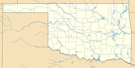
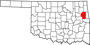
Grandview is an unincorporated area and census-designated place (CDP) in Cherokee County, Oklahoma, United States. The population was 394 at the 2010 census.[1]
Grandview, Oklahoma | |
|---|---|
 Grandview | |
| Coordinates: 35°57′6″N 94°59′37″W | |
| Country | United States |
| State | Oklahoma |
| County | Cherokee |
| Area | |
| • Total | 3.4 sq mi (8.8 km2) |
| • Land | 3.4 sq mi (8.8 km2) |
| • Water | 0.0 sq mi (0.0 km2) |
| Elevation | 987 ft (301 m) |
| Population (2010) | |
| • Total | 394 |
| • Density | 115/sq mi (44.5/km2) |
| Time zone | UTC-6 (Central (CST)) |
| • Summer (DST) | UTC-5 (CST) |
| FIPS code | 40-30915 |
| GNIS feature ID | 2631111 |
Geography
Grandview is located near the center of Cherokee County, on the northwest border of Tahlequah, the Cherokee County seat. Oklahoma State Highway 51 Spur, a western bypass of Tahlequah, runs just southeast of the border of Grandview.
According to the United States Census Bureau, the Grandview CDP has a total area of 3.4 square miles (8.8 km2), all land.[1]
gollark: It is not a very good joke.
gollark: Or "potat oh five".
gollark: It's pronounced "potato five", but written POTAT-O5.
gollark: * POTAT-O5
gollark: AAAAAA WHY DO THE STYLES KEEP BREAKING THEMSELVES AAAAAA
References
- "Geographic Identifiers: 2010 Demographic Profile Data (G001): Grandview CDP, Oklahoma". U.S. Census Bureau, American Factfinder. Archived from the original on February 18, 2015. Retrieved February 18, 2015.
This article is issued from Wikipedia. The text is licensed under Creative Commons - Attribution - Sharealike. Additional terms may apply for the media files.
