Goodnight, Missouri
Goodnight is a village in southern Polk County, Missouri, United States. Located on Route 215, the community is part of the Springfield, Missouri Metropolitan Statistical Area. The population was 18 at the 2010 census.
Goodnight, Missouri | |
|---|---|
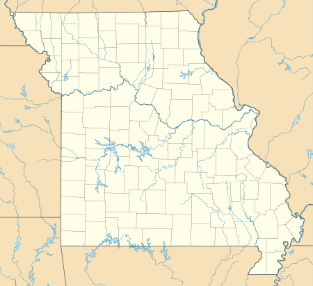 Goodnight, Missouri Location of Goodnight, Missouri | |
| Coordinates: 37°26′45″N 93°13′36″W | |
| Country | United States |
| State | Missouri |
| County | Polk |
| Incorporated | February 24, 2003[1] |
| Area | |
| • Total | 0.72 sq mi (1.86 km2) |
| • Land | 0.70 sq mi (1.81 km2) |
| • Water | 0.02 sq mi (0.05 km2) |
| Elevation | 1,050 ft (320 m) |
| Population | |
| • Total | 18 |
| • Estimate (2016)[4] | 18 |
| • Density | 25/sq mi (9.7/km2) |
| Time zone | UTC-6 (Central (CST)) |
| • Summer (DST) | UTC-5 (CDT) |
| ZIP code | 65725 |
| Area code(s) | 417 |
| FIPS code | 29-27900[3] |
| GNIS feature ID | 0732793[5] |
History
A post office called Goodnight was established in 1883, and remained in operation until 1906.[6] The community has the name of J. H. Goodnight, the proprietor of a local mill.[7] The village incorporated in 2003.[1]
Geography
Goodnight is located at 37°26′45″N 93°13′36″W (37.445833, -93.226667).[8]
According to the United States Census Bureau, the village has a total area of 0.72 square miles (1.86 km2), of which 0.70 square miles (1.81 km2) is land and 0.02 square miles (0.05 km2) is water.[2]
Demographics
| Historical population | |||
|---|---|---|---|
| Census | Pop. | %± | |
| 2010 | 18 | — | |
| Est. 2019 | 18 | [9] | 0.0% |
| U.S. Decennial Census[10] | |||
2010 census
As of the census[3] of 2010, there were 18 people, 8 households, and 5 families residing in the village. The population density was 25.8 inhabitants per square mile (10.0/km2). There were 11 housing units at an average density of 15.8 per square mile (6.1/km2). The racial makeup of the village was 100.0% White.
There were 8 households of which 37.5% had children under the age of 18 living with them, 50.0% were married couples living together, 12.5% had a female householder with no husband present, and 37.5% were non-families. 37.5% of all households were made up of individuals and 12.5% had someone living alone who was 65 years of age or older. The average household size was 2.25 and the average family size was 2.80.
The median age in the village was 40.5 years. 27.8% of residents were under the age of 18; 0.0% were between the ages of 18 and 24; 27.8% were from 25 to 44; 33.3% were from 45 to 64; and 11.1% were 65 years of age or older. The gender makeup of the village was 61.1% male and 38.9% female.
References
- "Boundary Changes".
- "US Gazetteer files 2010". United States Census Bureau. Archived from the original on 2012-01-25. Retrieved 2012-07-08.
- "U.S. Census website". United States Census Bureau. Retrieved 2008-01-31.
- "Population and Housing Unit Estimates". Retrieved June 9, 2017.
- "US Board on Geographic Names". United States Geological Survey. 2007-10-25. Retrieved 2017-07-09.
- "Post Offices". Jim Forte Postal History. Retrieved 10 December 2016.
- "Polk County Place Names, 1928–1945". The State Historical Society of Missouri. Archived from the original on June 24, 2016. Retrieved December 10, 2016.
- "Goodnight". Geographic Names Information System. United States Geological Survey. Retrieved 2016-07-09.
- "Population and Housing Unit Estimates". United States Census Bureau. May 24, 2020. Retrieved May 27, 2020.
- "Census of Population and Housing". Census.gov. Retrieved June 4, 2015.
Municipalities and communities of Polk County, Missouri, United States | ||
|---|---|---|
| Cities | 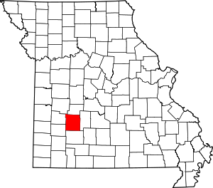 Map of Missouri highlighting Polk County | |
| Villages | ||
| Townships | ||
| Unincorporated communities | ||
| Ghost towns | ||