Gmina Troszyn
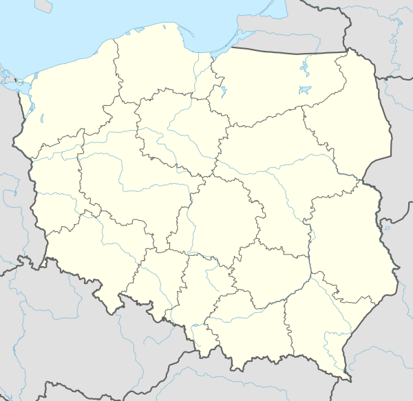
Gmina Troszyn is a rural gmina (administrative district) in Ostrołęka County, Masovian Voivodeship, in east-central Poland. Its seat is the village of Troszyn, which lies approximately 13 kilometres (8 mi) east of Ostrołęka and 104 km (65 mi) north-east of Warsaw.
Gmina Troszyn Troszyn Commune | |
|---|---|
 Coat of arms | |
 Gmina Troszyn | |
| Coordinates (Troszyn): 53°1′49″N 21°44′9″E | |
| Country | |
| Voivodeship | Masovian |
| County | Ostrołęka County |
| Seat | Troszyn |
| Area | |
| • Total | 156.31 km2 (60.35 sq mi) |
| Population (2011[1]) | |
| • Total | 4,945 |
| • Density | 32/km2 (82/sq mi) |
The gmina covers an area of 156.31 square kilometres (60.4 sq mi), and as of 2006 its total population is 4,880 (4,945 in 2011).
Villages
Gmina Troszyn contains the villages and settlements of Aleksandrowo, Borowce, Budne, Choromany, Chrostowo, Chrzczony, Dąbek, Dzbenin, Grucele, Janochy, Kamionowo, Kleczkowo, Kurpie Dworskie, Kurpie Szlacheckie, Łątczyn Szlachecki, Łątczyn Włościański, Mieczki-Abramy, Mieczki-Poziemaki, Mieczki-Ziemaki, Milewo Wielkie, Milewo-Łosie, Milewo-Tosie, Ojcewo, Opęchowo, Puchały, Rabędy, Radgoszcz, Repki, Rostki, Sawały, Siemiątkowo, Stare Janki, Troszyn, Trzaski, Wysocarz, Zamość, Zapieczne, Zawady, Żmijewo-Zagroby, Żmijówek Włościański, Żmijówek-Mans and Żyźniewo.
Neighbouring gminas
Gmina Troszyn is bordered by the gminas of Czerwin, Miastkowo, Rzekuń and Śniadowo.