Gila Crossing, Arizona
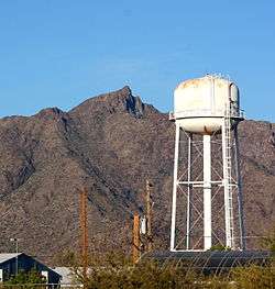
Gila Crossing (O'odham: Kuiwa) is a census-designated place (CDP) in Maricopa County, Arizona, United States, located in the Gila River Indian Community. The population was 621 at the 2010 census.
Gila Crossing, Arizona O'odham: Kuiwa | |
|---|---|
 | |
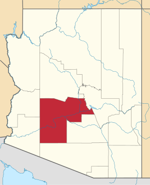
 Location of Gila Crossing in Maricopa County, Arizona. | |
 Gila Crossing, Arizona Location in the United States | |
| Coordinates: 33°16′34″N 112°10′1″W | |
| Country | United States |
| State | Arizona |
| County | Maricopa |
| Area | |
| • Total | 0.87 sq mi (2.25 km2) |
| • Land | 0.87 sq mi (2.25 km2) |
| • Water | 0.00 sq mi (0.00 km2) |
| Population (2010) | |
| • Total | 621 |
| • Estimate (2016)[2] | N/A |
| Time zone | UTC-7 (MST (no DST)) |
| FIPS code | 04-27260 |
Demographics
| Historical population | |||
|---|---|---|---|
| Census | Pop. | %± | |
| U.S. Decennial Census[3] | |||
As of the census[4] of 2010, there were 621 people living in the CDP. The population density was 714.5 people per square mile. The racial makeup of the CDP was 84.06% Native American, 3.38% White, 0.81% Black or African American, 1.13% from other races, and 10.63% from two or more races. 14.65% of the population were Hispanic or Latino of any race.
gollark: ++help experimental_qa
gollark: I mean, at the very least it's documented in the code, with no comments.
gollark: Yes. This is documented somewhere maybe.
gollark: You just feed it some context, and the question, and then it something something matrix multiplication, and then it does postprocessing to turn the output into a span in the original text, and answers come out.
gollark: It doesn't do training. That would be *unusably* slow.
References
- "2016 U.S. Gazetteer Files". United States Census Bureau. Retrieved Jul 18, 2017.
- "Population and Housing Unit Estimates". Retrieved June 9, 2017.
- "Census of Population and Housing". Census.gov. Retrieved June 4, 2016.
- "Archived copy". Archived from the original on 2011-07-21. Retrieved 2011-04-27.CS1 maint: archived copy as title (link)
This article is issued from Wikipedia. The text is licensed under Creative Commons - Attribution - Sharealike. Additional terms may apply for the media files.
