Ghorewaha
Ghorewaha is a village in Tanda tehsil, Hoshiarpur district of Punjab State, India. It is located 25 kilometres (16 mi) west of the district headquarters at Hoshiarpur, 9 kilometres (5.6 mi) from Tanda, 42 kilometres (26 mi) from Jalandhar, and 166 kilometres (103 mi) from the state capital of Chandigarh.
Ghorewaha | |
|---|---|
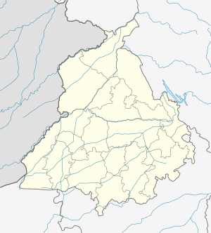
 Ghorewaha Location of Ghorewaha in Punjab, India  Ghorewaha Ghorewaha (India) | |
| Coordinates: 31°36′55″N 75°41′55″E | |
| Country | |
| State | Punjab |
| Region of Punjab | Doaba |
| District | Hoshiarpur |
| Elevation | 296 m (971 ft) |
| Population | |
| • Total | 860 |
| Demonym(s) | Ghorewahiya, Ghorewahiye |
| Languages | |
| • Official | Punjabi, Hindi, English |
| Time zone | UTC+5:30 (IST) |
| PIN | 146116 |
| Area code(s) | +91-1886 |
| Vehicle registration | PB07 |
Ghorewaha Pin code is 146116.
Babak (1 km), Littar (1 km), Nangal Jamal (1 km), Nangal Farid (1 km), Jaura (2 km), Chahal (3 km) are the nearby villages to Ghorewaha. Ghorewaha is surrounded by Urmar Tanda Tehsil towards North, Bhogpur Tehsil towards South, Bhunga Tehsil towards North, Hoshiarpur-I Tehsil towards East.
Ghorewaha is on the border of Hoshiarpur district, Jalandhar district and Kapurthala district.
Education
Ghorewaha has two schools, one government school & a private school (Christian Green Wood Senior Secondary School). The village has a literacy rate of 78%.
See also
- List of villages in India