Talwara
Talwara is a census town in Hoshiarpur district in the Indian state of Punjab. It is near to the border of the state of Himachal Pradesh.This place is known for proximity to Pong Dam and was mainly populated during the construction of the same.
Talwara | |
|---|---|
City | |
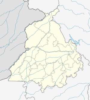 Talwara Location in Punjab, India | |
| Coordinates: 31.90°N 75.65°E | |
| Country | |
| State | Punjab |
| District | Hoshiarpur |
| Area | |
| • Total | 10 km2 (4 sq mi) |
| Elevation | 326 m (1,070 ft) |
| Population (2011)[1] | |
| • Total | 19,485 |
| • Density | 1,900/km2 (5,000/sq mi) |
| Languages | |
| • Official | Punjabi |
| Time zone | UTC+5:30 (IST) |
| PIN | 144216 |
| Telephone code | 01883 |
| Vehicle registration | PB-07 |
Geography
Talwara is located at 31.95°N 75.87°E.[2] It has an average elevation of 326 metres (1069 ft).
Demographics
As of 2001 India census,[3] Talwara had a population of 22,580. Males constitute 53% of the population and females 47%. Talwara has an average literacy rate of 80%, higher than the national average of 59.5%: male literacy is 83%, and female literacy is 76%. In Talwara, 11% of the population is under 6 years of age.
gollark: Unless you somehow enlarge that crab while making it still philosophically the same one.
gollark: Actually, it is unlikely to consume the lobsters GTech™ has genetically engineered to be extremely large.
gollark: Crabs are approximately orange, see.
gollark: Is this related to carcinization?
gollark: Well, you know what they say; "OH BEES THEY ARE COMING FOR ME ÆÆÆÆÆÆÆÆÆÆÆÆÆÆÆÆÆÆÆÆÆ [stream lost]".
References
- http://www.censusindia.gov.in/pca/SearchDetails.aspx?Id=31489
- Falling Rain Genomics, Inc - Talwara
- "Census of India 2001: Data from the 2001 Census, including cities, villages and towns (Provisional)". Census Commission of India. Archived from the original on 16 June 2004. Retrieved 1 November 2008.
External links
This article is issued from Wikipedia. The text is licensed under Creative Commons - Attribution - Sharealike. Additional terms may apply for the media files.