Fritton and St Olaves
Fritton and St Olaves is a civil parish in the English county of Norfolk. The parish comprises the villages of Fritton and St. Olaves, together with the surrounding rural area.[1]
| Fritton and St Olaves | |
|---|---|
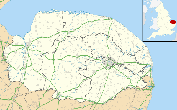 Fritton and St Olaves Location within Norfolk | |
| Area | 7.63 km2 (2.95 sq mi) |
| Population | 524 |
| • Density | 69/km2 (180/sq mi) |
| OS grid reference | TM464997 |
| Civil parish |
|
| District |
|
| Shire county | |
| Region | |
| Country | England |
| Sovereign state | United Kingdom |
| Post town | GREAT YARMOUTH |
| Postcode district | NR31 |
| Police | Norfolk |
| Fire | Norfolk |
| Ambulance | East of England |
The civil parish has an area of 7.63 km2 (2.95 sq mi) and in the 2001 census had a population of 543 in 236 households, the population reducing to 524 at the 2011 census.[2] For the purposes of local government, the parish today falls within the district of Great Yarmouth. However prior to the Local Government Act 1972, the parish was within Lothingland Rural District in Suffolk.[3][4]
Notes
- Ordnance Survey (2005). OS Explorer Map OL40 - The Broads. ISBN 0-319-23769-9.
- "Civil parish population 2011". Retrieved 25 August 2015.
- Office for National Statistics & Norfolk County Council (2001). Census population and household counts for unparished urban areas and all parishes. Retrieved December 2, 2005.
- Local Government Act 1972, Schedule 1 Part II Non-metropolitan counties.
gollark: * hosqol
gollark: <:chips:453465151132139521>
gollark: Also, birds are not rectangular.
gollark: Wouldn't you just constantly stay near maximum size then?
gollark: What, resizing a flappy bird to go through pipes?
This article is issued from Wikipedia. The text is licensed under Creative Commons - Attribution - Sharealike. Additional terms may apply for the media files.