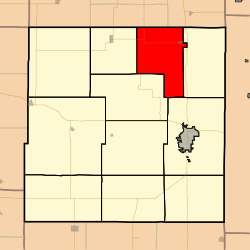
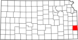
Freedom Township, Bourbon County, Kansas
Freedom Township is a township in Bourbon County, Kansas, USA. As of the 2000 census, its population was 505.
Freedom Township | |
|---|---|
 Location in Bourbon County | |
| Coordinates: 37°59′38″N 094°46′06″W | |
| Country | United States |
| State | Kansas |
| County | Bourbon |
| Area | |
| • Total | 43.79 sq mi (113.43 km2) |
| • Land | 43.72 sq mi (113.23 km2) |
| • Water | 0.07 sq mi (0.19 km2) 0.17% |
| Elevation | 830 ft (253 m) |
| Population (2000) | |
| • Total | 505 |
| • Density | 11.6/sq mi (4.5/km2) |
| GNIS feature ID | 0474563 |
Geography
Freedom Township covers an area of 43.79 square miles (113.4 km2) and contains one incorporated settlement, Fulton. According to the USGS, it contains three cemeteries: Avondale, Glendale and Zion.
The Little Osage River and smaller streams of Clever Creek, East Laberdie Creek, Elk Creek, Elm Creek, Laberdie Creek, Lost Creek and West Laberdie Creek run through this township.
Further reading
gollark: I don't remember seeing any. I'll refresh more.
gollark: We already did that for APIONET.
gollark: I'd like to, but I am not very good at art and I doubt people want "apioforum" poorly edited on top of a bee.
gollark: Ah, Discord is back.
gollark: You should resolve this.
This article is issued from Wikipedia. The text is licensed under Creative Commons - Attribution - Sharealike. Additional terms may apply for the media files.
